
| Distance / Altitude | Location | Report Date / Time | Live Weather | Wind | Gusts | Temp. | Visibility | Cloud |
|---|---|---|---|---|---|---|---|---|
| 8 km ESE / 129 m | Sitiawan (Malaysia) | 2024-04-20 15:00 local (2024/04/20 07:00 GMT) | Thunderstorm - | wind obs. (19 kph from 280 degs) was rejected (- km/h at -) | 33°C | 10.0 | few mostly cloudy - | |
| 63 km NE / 216 m | Ipoh Airport (Malaysia) | 2024-04-20 15:00 local (2024/04/20 07:00 GMT) | Dry and partly cloudy | wind obs. (7 kph from 210 degs) was rejected (- km/h at -) | 34°C | 10.0 | few scattered | |
| 105 km WSW / 15 m | SHIP10925 (Marine) | 2024-04-20 14:00 local (2024/04/20 06:00 GMT) | - (- km/h at -) | — | - km | |||
| 124 km NW / 218 m | Penang International Airport/Bayan Lepas (Malaysia) | 2024-04-20 15:30 local (2024/04/20 07:30 GMT) | - | light winds from the N (9 km/h at 1) | 34°C | 10.0 | few | |
| 126 km NW / 4 m | Penang/Bayan Lepas Airport (Malaysia) | 2024-04-20 14:00 local (2024/04/20 06:00 GMT) | Haze | light winds from the W (9 km/h at 280) | 34°C | 29 km | - mostly cloudy - |

| Contours: | Roads & Rivers: | Select a
tide station / surf break / city |
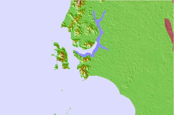
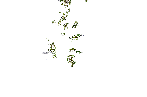
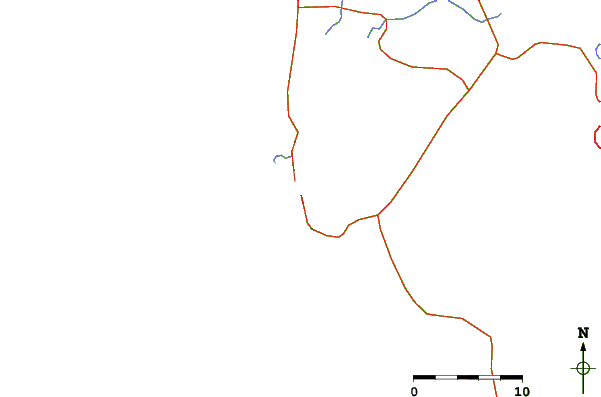
Use this relief map to navigate to tide stations, surf breaks and cities that are in the area of Lumut.
Other Nearby Locations' tide tables and tide charts to Lumut:
click location name for more details
 Surf breaks close to Lumut:
|
||
|---|---|---|
| Closest surf break | Tengah Beach (Bank Negara) | 155 mi |
| Second closest surf break | Cenang Beach (The Cliff) | 155 mi |
| Third closest surf break | Batu Buruk | 190 mi |
| Fourth closest surf break | Cherating | 191 mi |
| Fifth closest surf break | Kelulut (Marang) | 191 mi |

 Nearest
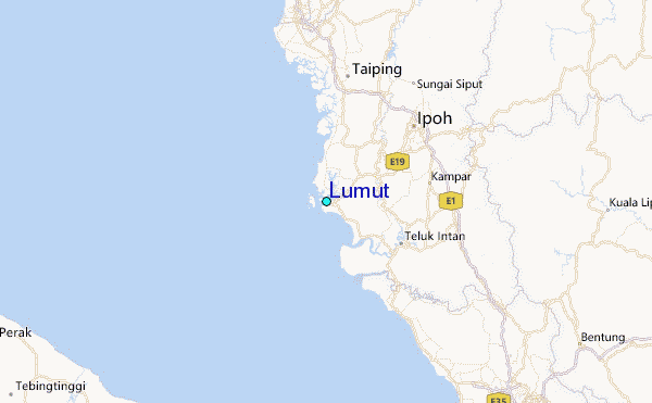