
| Distance / Altitude | Location | Report Date / Time | Live Weather | Wind | Gusts | Temp. | Visibility | Cloud |
|---|---|---|---|---|---|---|---|---|
| 7 km SW / 15 m | SHIP7517 (Marine) | 2024-04-25 01:00 local (2024/04/25 08:00 GMT) | - (- km/h at -) | — | - km | |||
| 11 km NNE / 218 m | Everett Airport (Washington) | 2024-04-25 02:32 local (2024/04/25 09:32 GMT) | Dry and cloudy | light winds from the SSE (19 km/h at 150) | 10°C | 16 | scattered overcast | |
| 20 km S / 3 m | BUOY-WPOW1 (Marine) | 2024-04-25 03:00 local (2024/04/25 10:00 GMT) | light winds from the S (17 km/h at 170) | 10°C | - | |||
| 27 km S / 100 m | Seattle (Washington) | 2024-04-25 03:16 local (2024/04/25 10:16 GMT) | - | calm (0 km/h at 304) | — | - | - - 0 | |
| 27 km ENE / 80 m | Monroe (Washington) | 2024-04-25 03:06 local (2024/04/25 10:06 GMT) | dry | calm (0 km/h at 207) | 12°C | - | - - 0 |
| Contours: | Roads & Rivers: | Select a
tide station / surf break / city |
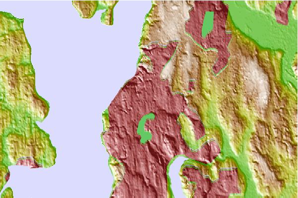
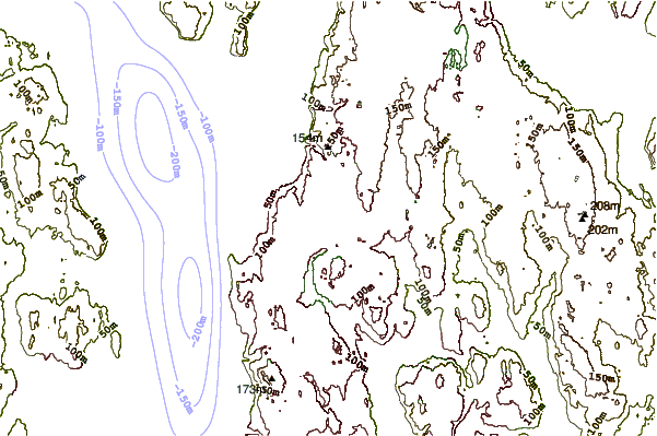
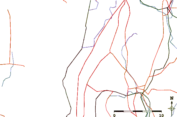
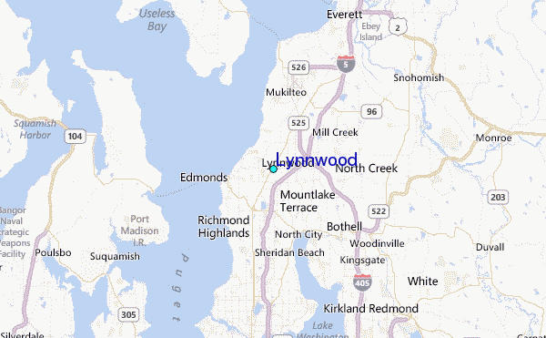
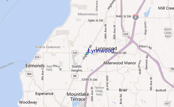
Use this relief map to navigate to tide stations, surf breaks and cities that are in the area of Lynnwood.
Other Nearby Locations' tide tables and tide charts to Lynnwood:
click location name for more details
 Surf breaks close to Lynnwood:
|
||
|---|---|---|
| Closest surf break | Fort. Ebey | 35 mi |
| Second closest surf break | Super green | 49 mi |
| Third closest surf break | Elwha | 62 mi |
| Fourth closest surf break | Crescent | 69 mi |
| Fifth closest surf break | Whiskey Creek | 71 mi |

 Nearest
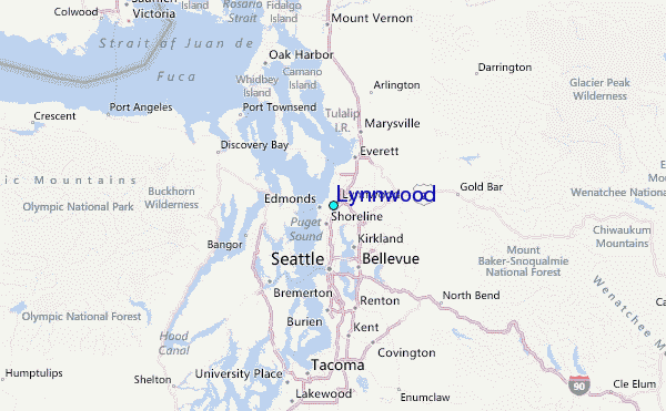