
| Distance / Altitude | Location | Report Date / Time | Live Weather | Wind | Gusts | Temp. | Visibility | Cloud |
|---|---|---|---|---|---|---|---|---|
| 2 km NE / 67 m | Mabou Mines wx (Canada) | 2024-04-18 20:28 local (2024/04/18 23:28 GMT) | - | light winds from the NNW (8 km/h at 330) | 0°C | - | - - 0 | |
| 14 km S / 44 m | Port Hood (Canada) | 2024-04-18 20:27 local (2024/04/18 23:27 GMT) | - | light winds from the NW (10 km/h at 319) | 1°C | - | - - 0 | |
| 16 km E / 71 m | Hays River (Canada) | 2024-04-18 20:00 local (2024/04/18 23:00 GMT) | - | light winds from the NNW (8 km/h at 345) | 0°C | - | - - 0 | |
| 19 km NE / 17 m | Inverness (Canada) | 2024-04-18 20:22 local (2024/04/18 23:22 GMT) | - | fresh winds from the NNW (29 km/h at 335) | 1°C | - | - - 0 | |
| 23 km NE / 42 m | Cabot Cliffs (Canada) | 2024-04-18 20:08 local (2024/04/18 23:08 GMT) | dry | - (- km/h at ) | — | - | - - 0 |
| Contours: | Roads & Rivers: | Select a
tide station / surf break / city |
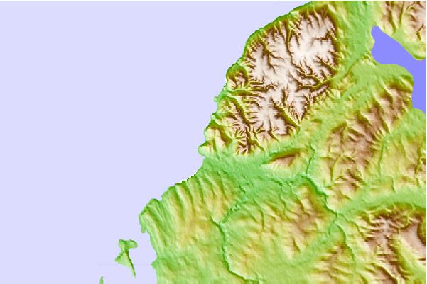
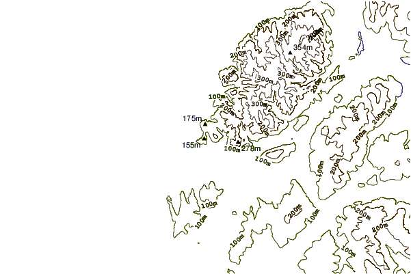
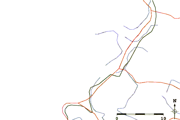
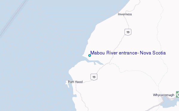
Use this relief map to navigate to tide stations, surf breaks and cities that are in the area of Mabou River entrance, Nova Scotia.
Other Nearby Locations' tide tables and tide charts to Mabou River entrance, Nova Scotia:
click location name for more details
 Surf breaks close to Mabou River entrance, Nova Scotia:
|
||
|---|---|---|
| Closest surf break | Michaud Point | 53 mi |
| Second closest surf break | Ingonish Beach | 63 mi |
| Third closest surf break | Kennington Cove | 70 mi |
| Fourth closest surf break | Martinique | 128 mi |
| Fifth closest surf break | Lawrencetown Left Point | 135 mi |

 Nearest
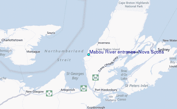