
| Distance / Altitude | Location | Report Date / Time | Live Weather | Wind | Gusts | Temp. | Visibility | Cloud |
|---|---|---|---|---|---|---|---|---|
| 3 km SSW / 696 m | Caracas Airport/Aeropuerto Internacional Simon Bolivar (Venezuela) | 2024-04-19 12:00 local (2024/04/19 16:00 GMT) | Dry and partly cloudy | light winds from the E (9 km/h at 90) | 28°C | 100.0 | scattered broken | |
| 11 km SSE / 997 m | San Bernardino wx (Venezuela) | 2024-04-19 11:36 local (2024/04/19 15:36 GMT) | dry | calm (5 km/h at 133) | 27°C | - | - - 0 | |
| 15 km SE / 860 m | Caracas (Venezuela) | 2024-04-19 11:03 local (2024/04/19 15:03 GMT) | dry | wind obs. (10 kph from 83 degs) was rejected (- km/h at -) | 27°C | - | - - 0 | |
| 108 km NW / 15 m | ASCATB293E11N (Marine) | 2024-04-19 09:46 local (2024/04/19 13:46 GMT) | moderate winds from the E (21 km/h at 89) | — | - km | |||
| 114 km W / 15 m | ASCATB292E11N (Marine) | 2024-04-19 09:47 local (2024/04/19 13:47 GMT) | moderate winds from the E (22 km/h at 84) | — | - km |
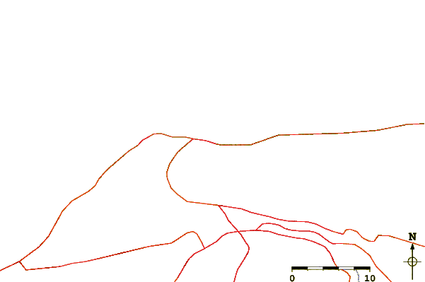
| Contours: | Roads & Rivers: | Select a
tide station / surf break / city |
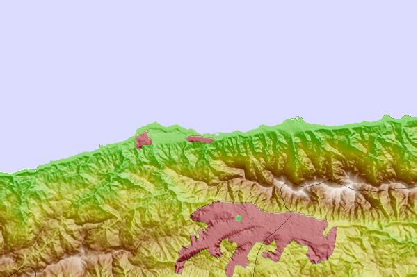
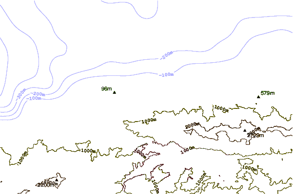
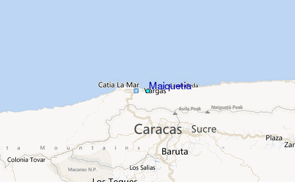
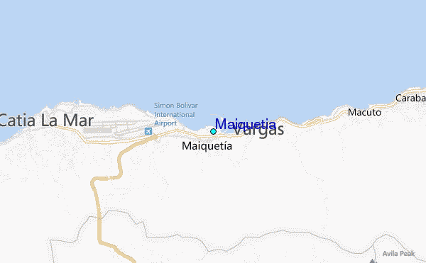
Use this relief map to navigate to tide stations, surf breaks and cities that are in the area of Maiquetia.
Other Nearby Locations' tide tables and tide charts to Maiquetia:
click location name for more details
 Surf breaks close to Maiquetia:
|
||
|---|---|---|
| Closest surf break | Playita | 2 mi |
| Second closest surf break | Los Pocitos | 2 mi |
| Third closest surf break | Mamo | 3 mi |
| Fourth closest surf break | Marina Grande | 4 mi |
| Fifth closest surf break | Cumboto | 6 mi |

 Nearest
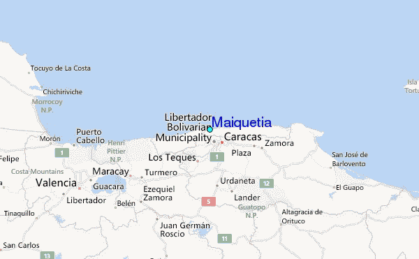