
| Distance / Altitude | Location | Report Date / Time | Live Weather | Wind | Gusts | Temp. | Visibility | Cloud |
|---|---|---|---|---|---|---|---|---|
| 7 km S / 208 m | Majuro Atoll Airport (Marshall Islands) | 2024-04-20 11:53 local (2024/04/19 23:53 GMT) | Dry and partly cloudy | light winds from the ENE (19 km/h at 70) | 30°C | 24 | few scattered broken | |
| 10 km SE / 169 m | Majuro Wso Airport (Marshall Islands) | 2024-04-20 11:59 local (2024/04/19 23:59 GMT) | Dry and partly cloudy | moderate winds from the ENE (28 km/h at 60) | — | 24 | few scattered broken | |
| 14 km SE / 4 m | MajuroMarshallIs.Intnl. (Marshall Islands) | 2024-04-20 12:00 local (2024/04/20 00:00 GMT) | - | moderate winds from the ENE (28 km/h at 60) | 31°C | 44 km | overcast | |
| 21 km ESE / 3 m | Kalo- Majuro- Marshall Islands (Marine) | 2024-04-20 12:30 local (2024/04/20 00:30 GMT) | - (- km/h at -) | — | - | |||
| 219 km SSW / 3 m | JaluitAtoll-Marshall Is. (Marshall Islands) | 2024-04-20 12:00 local (2024/04/20 00:00 GMT) | - | light winds from the E (9 km/h at 80) | 30°C | 44 km | mostly cloudy |

| Contours: | Roads & Rivers: | Select a
tide station / surf break / city |
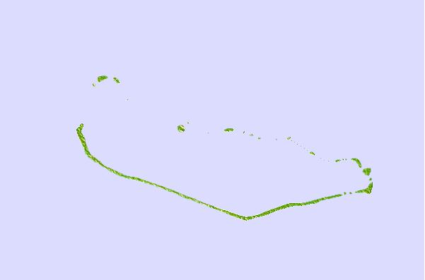
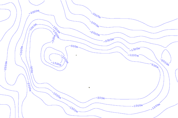
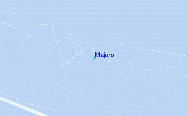
Use this relief map to navigate to tide stations, surf breaks and cities that are in the area of Majuro.
Other Nearby Locations' tide tables and tide charts to Majuro:
click location name for more details
 Surf breaks close to Majuro:
|
||
|---|---|---|
| Closest surf break | Naa | 400 mi |
| Second closest surf break | Sidedish | 582 mi |
| Third closest surf break | Walung | 583 mi |
| Fourth closest surf break | Lavata | 1441 mi |
| Fifth closest surf break | Kundu Kundu | 1442 mi |

 Nearest
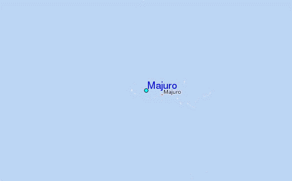