
| Distance / Altitude | Location | Report Date / Time | Live Weather | Wind | Gusts | Temp. | Visibility | Cloud |
|---|---|---|---|---|---|---|---|---|
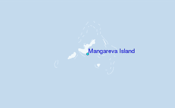
| 0 km NNE / 89 m | Mangareva (French Polynesia) | 2024-04-24 23:30 local (2024/04/25 09:00 GMT) | - | light winds from the N (13 km/h at 10) | 24°C | - | no observation | |
| 159 km WSW / 15 m | ASCATC224E23S (Marine) | 2024-04-24 21:05 local (2024/04/25 06:35 GMT) | moderate winds from the E (21 km/h at 86) | — | - km | |||
| 160 km SW / 15 m | ASCATC224E24S (Marine) | 2024-04-24 21:05 local (2024/04/25 06:35 GMT) | moderate winds from the E (22 km/h at 85) | — | - km | |||
| 208 km SSW / 15 m | ASCATC224E25S (Marine) | 2024-04-24 21:05 local (2024/04/25 06:35 GMT) | moderate winds from the ENE (23 km/h at 74) | — | - km | |||
| 233 km WSW / 15 m | ASCATC223E24S (Marine) | 2024-04-24 21:05 local (2024/04/25 06:35 GMT) | moderate winds from the ENE (21 km/h at 69) | — | - km |
| Contours: | Roads & Rivers: | Select a
tide station / surf break / city |
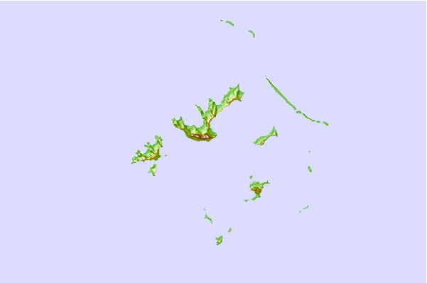
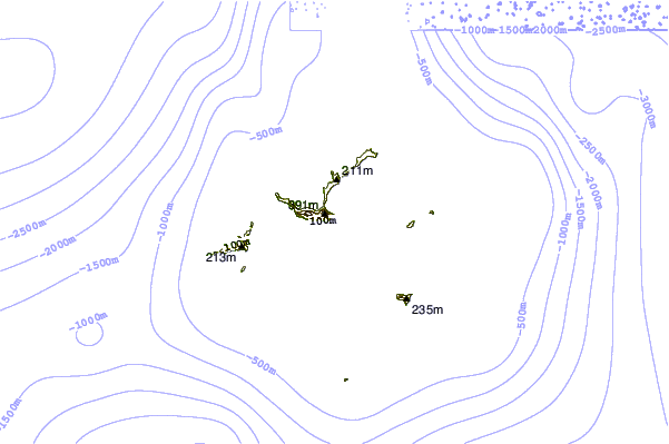
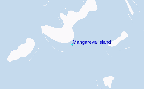
Use this relief map to navigate to tide stations, surf breaks and cities that are in the area of Mangareva Island.
Other Nearby Locations' tide tables and tide charts to Mangareva Island:
click location name for more details
 Surf breaks close to Mangareva Island:
|
||
|---|---|---|
| Closest surf break | Teahupoo | 994 mi |
| Second closest surf break | Vairao | 998 mi |
| Third closest surf break | Faaone | 1002 mi |
| Fourth closest surf break | Ins and Outs | 1005 mi |
| Fifth closest surf break | Papara Beach | 1011 mi |

 Nearest