
| Distance / Altitude | Location | Report Date / Time | Live Weather | Wind | Gusts | Temp. | Visibility | Cloud |
|---|---|---|---|---|---|---|---|---|
| 6 km W / 3 m | BUOY-KPTN6 (Marine) | 2024-04-19 14:00 local (2024/04/19 18:00 GMT) | light winds from the N (17 km/h at 350) | 10°C | - | |||
| 9 km NW / 3 m | BUOY-44022 (Marine) | 2024-04-19 14:15 local (2024/04/19 18:15 GMT) | moderate winds from the ENE (25 km/h at 60) | 9°C | - | |||
| 11 km N / - m | SHIP10298 (ocean) | 2024-04-19 13:00 local (2024/04/19 17:00 GMT) | - | moderate winds from the NE (25 km/h at 50) | 9°C | - | no observation | |
| 11 km N / - m | SHIP5652 (ocean) | 2024-04-19 12:00 local (2024/04/19 16:00 GMT) | - | moderate winds from the ENE (22 km/h at 60) | 8°C | - | no observation | |
| 11 km N / - m | SHIP13377 (ocean) | 2024-04-19 14:00 local (2024/04/19 18:00 GMT) | - | moderate winds from the NE (22 km/h at 50) | 9°C | - | no observation |
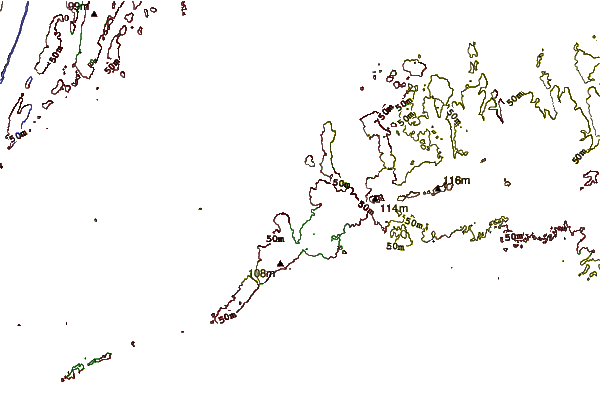
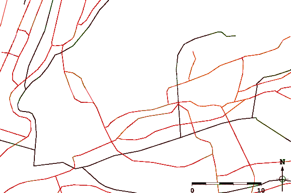
| Contours: | Roads & Rivers: | Select a
tide station / surf break / city |

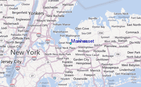
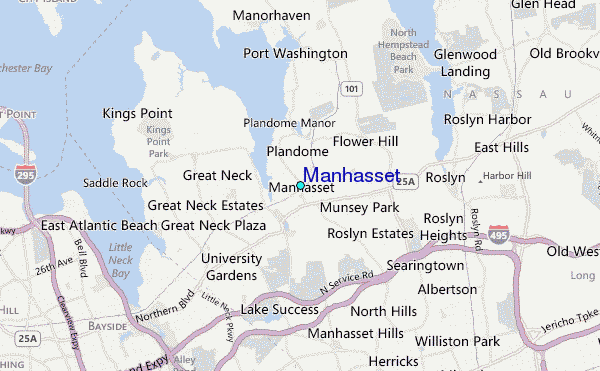
Use this relief map to navigate to tide stations, surf breaks and cities that are in the area of Manhasset.
Other Nearby Locations' tide tables and tide charts to Manhasset:
click location name for more details
 Surf breaks close to Manhasset:
|
||
|---|---|---|
| Closest surf break | Connecticut Street Jetty | 15 mi |
| Second closest surf break | Grand Blvd | 15 mi |
| Third closest surf break | Jones Beach | 15 mi |
| Fourth closest surf break | Lido West | 15 mi |
| Fifth closest surf break | Lincoln (Long Beach) | 15 mi |

 Nearest
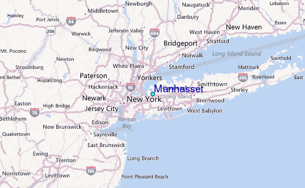