
| Distance / Altitude | Location | Report Date / Time | Live Weather | Wind | Gusts | Temp. | Visibility | Cloud |
|---|---|---|---|---|---|---|---|---|
| 229 km E / 150 m | Biak/Frans Kaisiepo Airport (Indonesia) | 2024-04-18 09:30 local (2024/04/18 00:30 GMT) | - | calm (4 km/h at 1) | 30°C | 10.0 | few | |
| 262 km E / 15 m | ASCATC136E0S (Marine) | 2024-04-18 08:51 local (2024/04/17 23:51 GMT) | light winds from the NNW (13 km/h at 330) | — | - km | |||
| 265 km E / 15 m | ASCATC136E1S (Marine) | 2024-04-18 08:52 local (2024/04/17 23:52 GMT) | light winds from the NNW (14 km/h at 329) | — | - km | |||
| 273 km E / 15 m | ASCATC137E0S (Marine) | 2024-04-18 08:51 local (2024/04/17 23:51 GMT) | light winds from the NNW (15 km/h at 342) | — | - km | |||
| 292 km ENE / 15 m | ASCATC137E0N (Marine) | 2024-04-18 08:51 local (2024/04/17 23:51 GMT) | light winds from the NNW (16 km/h at 330) | — | - km |
| Contours: | Roads & Rivers: | Select a
tide station / surf break / city |
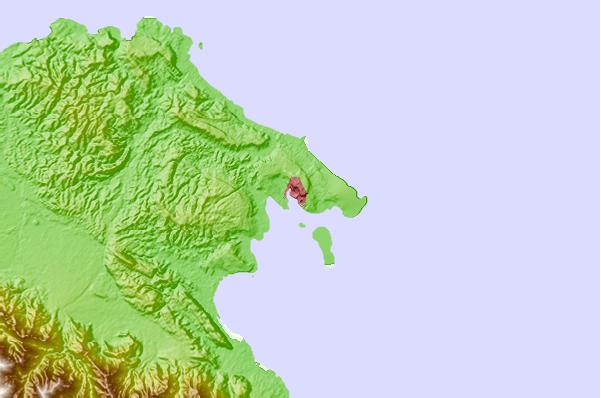
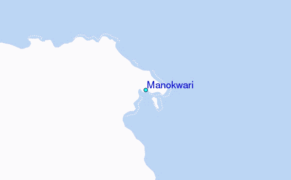
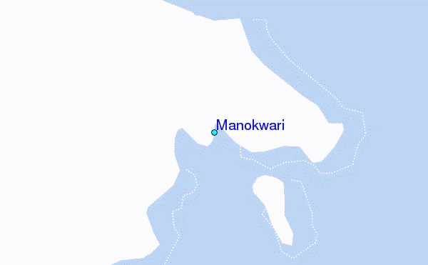
Use this relief map to navigate to tide stations, surf breaks and cities that are in the area of Manokwari.
Other Nearby Locations' tide tables and tide charts to Manokwari:
click location name for more details
 Surf breaks close to Manokwari:
|
||
|---|---|---|
| Closest surf break | Wutung Village Reef | 493 mi |
| Second closest surf break | Lidos Right | 508 mi |
| Third closest surf break | Lidos Left | 509 mi |
| Fourth closest surf break | Logs | 514 mi |
| Fifth closest surf break | Jailbreak | 515 mi |

 Nearest