
| Distance / Altitude | Location | Report Date / Time | Live Weather | Wind | Gusts | Temp. | Visibility | Cloud |
|---|---|---|---|---|---|---|---|---|
| 6 km ESE / 190 m | Manta/Eloy Alfaro International Airport (Ecuador) | 2026-06-09 15:00 local (2026/06/09 20:00 GMT) | Dry and partly cloudy | light winds from the WSW.(Wind varies from 220 to 300 degs) (6 km/h at 250) | 26°C | 10.0 | scattered broken overcast | |
| 121 km E / 10 m | Gen Rivadeneira Airport (Ecuador) | 2026-06-09 15:00 local (2026/06/09 20:00 GMT) | Dry and partly cloudy | wind obs. (9 kph from 50 degs) was rejected (- km/h at -) | 29°C | 10.0 | few broken | |
| 143 km S / 8 m | Salinas/Gen Ulpi Airport (Ecuador) | 2026-06-09 15:00 local (2026/06/09 20:00 GMT) | Dry and partly cloudy | light winds from the S (13 km/h at 170) | 28°C | 10.0 | scattered scattered broken | |
| 163 km SE / 211 m | Guayaquil/José Joaquín de Olmedo International Airport (Ecuador) | 2026-06-09 15:00 local (2026/06/09 20:00 GMT) | Dry and partly cloudy | wind obs. (11 kph from 160 degs) was rejected (- km/h at -) | 30°C | 10.0 | scattered broken | |
| 230 km E / 3200 m | Latacunga (Ecuador) | 2026-06-09 15:44 local (2026/06/09 20:44 GMT) | dry | calm (0 km/h at 193) | 12°C | - | - - 0 | |
| 234 km E / 2768 m | Latacunga/Cotopaxi Airport (Ecuador) | 2026-06-09 15:00 local (2026/06/09 20:00 GMT) | Thunderstorm - | wind obs. (7 kph from 120 degs) was rejected (- km/h at -) | — | 10.0 | few broken | |
| 240 km ESE / 2796 m | Riobamba/Chimborazo Airport (Ecuador) | 2026-06-09 15:00 local (2026/06/09 20:00 GMT) | - | wind obs. (9 kph from 20 degs) was rejected (- km/h at -) | — | 6.0 | broken overcast - | |
| 241 km E / 2520 m | Ambato Aeropuerto (Ecuador) | 2026-06-09 15:00 local (2026/06/09 20:00 GMT) | Light rain | wind obs. (11 kph from 20 degs) was rejected (- km/h at -) | 18°C | 10.0 | scattered broken broken | |
| 278 km ENE / 2400 m | Quito New International Airport (Ecuador) | 2026-06-09 15:00 local (2026/06/09 20:00 GMT) | Light rain | wind obs. (26 kph from 340 degs) was rejected (- km/h at -) | 20°C | 10.0 | broken scattered | |
| 288 km SSE / 52 m | Machala Larrea Airport (Ecuador) | 2026-06-09 15:00 local (2026/06/09 20:00 GMT) | Dry and partly cloudy | calm (2 km/h at 310) | 28°C | 10.0 | few broken - |
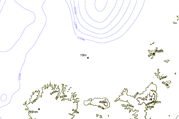
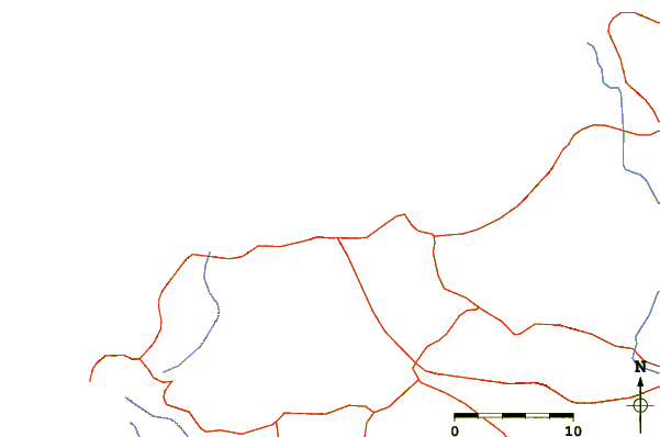
| Contours: | Roads & Rivers: | Select a
tide station / surf break / city |
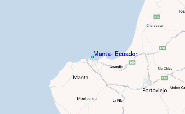
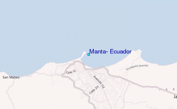
Use this relief map to navigate to tide stations, surf breaks and cities that are in the area of Manta, Ecuador.
Other Nearby Locations' tide tables and tide charts to Manta, Ecuador:
click location name for more details
 Surf breaks close to Manta, Ecuador:
|
||
|---|---|---|
| Closest surf break | El Murcielago | 1 mi |
| Second closest surf break | La Punta - La Bellaca | 3 mi |
| Third closest surf break | San Mateo | 8 mi |
| Fourth closest surf break | Escondido | 10 mi |
| Fifth closest surf break | La Mesita | 24 mi |


 Nearest
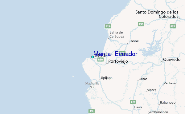