
| Distance / Altitude | Location | Report Date / Time | Live Weather | Wind | Gusts | Temp. | Visibility | Cloud |
|---|---|---|---|---|---|---|---|---|
| 101 km WSW / 444 m | Acapulco/General Juan N. Álvarez International Airport (Mexico) | 2024-04-20 01:40 local (2024/04/20 06:40 GMT) | Dry and partly cloudy | light winds from the NNW (7 km/h at 330) | 24°C | 8 | few scattered | |
| 199 km NW / 959 m | Iguala de la Independencia (Mexico) | 2024-04-20 01:45 local (2024/04/20 06:45 GMT) | dry | calm (0 km/h at 0) | 28°C | - | - - 0 | |
| 266 km N / 1710 m | Lomas de Cortés wx (Mexico) | 2024-04-20 02:16 local (2024/04/20 07:16 GMT) | - | calm (5 km/h at 263) | 26°C | - | - - 0 | |
| 306 km NW / 2180 m | El Peñon Take off (Mexico) | 2024-04-20 02:00 local (2024/04/20 07:00 GMT) | - | calm (0 km/h at 225) | 19°C | - | - - 0 | |
| 313 km N / 2249 m | Colonia Nápoles wx (Mexico) | 2024-04-20 02:14 local (2024/04/20 07:14 GMT) | dry | calm (2 km/h at 230) | 18°C | - | - - 0 |
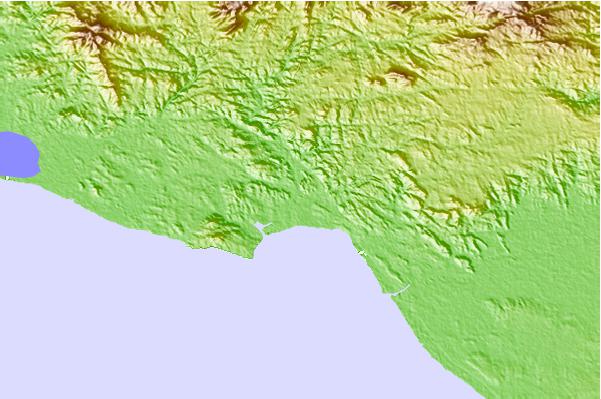
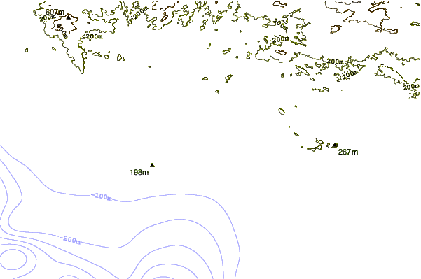
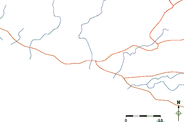
| Contours: | Roads & Rivers: | Select a
tide station / surf break / city |
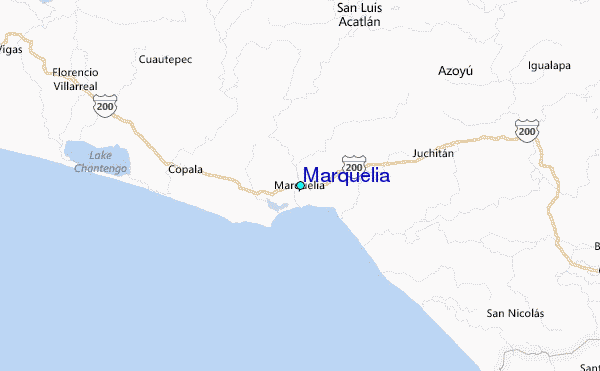
Use this relief map to navigate to tide stations, surf breaks and cities that are in the area of Marquelia.
Other Nearby Locations' tide tables and tide charts to Marquelia:
click location name for more details
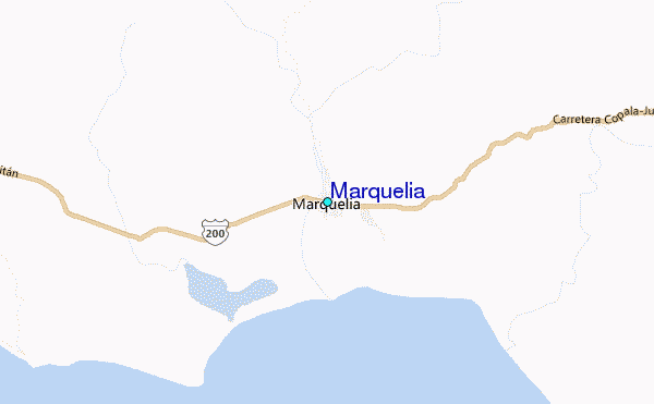
 Surf breaks close to Marquelia:
|
||
|---|---|---|
| Closest surf break | Punta Acamama | 9 mi |
| Second closest surf break | Las Animas | 14 mi |
| Third closest surf break | Marquella | 16 mi |
| Fourth closest surf break | Pinitas | 21 mi |
| Fifth closest surf break | Punta Colorada | 24 mi |

 Nearest
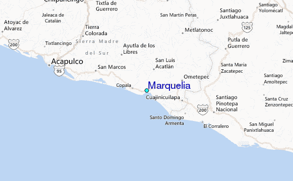