
| Distance / Altitude | Location | Report Date / Time | Live Weather | Wind | Gusts | Temp. | Visibility | Cloud |
|---|---|---|---|---|---|---|---|---|
| 3 km ESE / 92 m | Broughton Moor wx (United Kingdom) | 2024-04-20 01:09 local (2024/04/20 00:09 GMT) | dry | calm (0 km/h at 131) | 3°C | - | - - 0 | |
| 3 km SE / 92 m | Broughton Moor wx (United Kingdom) | 2024-04-20 01:34 local (2024/04/20 00:34 GMT) | dry | calm (0 km/h at 138) | 3°C | - | - - 0 | |
| 17 km SSE / 202 m | Kirkland (United Kingdom) | 2024-04-20 01:32 local (2024/04/20 00:32 GMT) | dry | calm (2 km/h at 92) | 3°C | - | - - 0 | |
| 22 km S / 124 m | STBeesHead NO 2 (United Kingdom) | 2024-04-20 02:00 local (2024/04/20 01:00 GMT) | - | calm (4 km/h at 110) | 4°C | 50 km | clear | |
| 25 km ESE / 238 m | Keswick Automatic Weather Station (United Kingdom) | 2024-04-20 02:00 local (2024/04/20 01:00 GMT) | - | calm (4 km/h at 360) | 2°C | 60 km | clear |
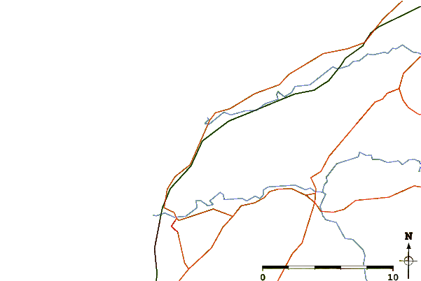
| Contours: | Roads & Rivers: | Select a
tide station / surf break / city |
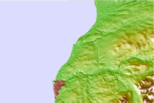
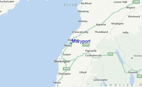
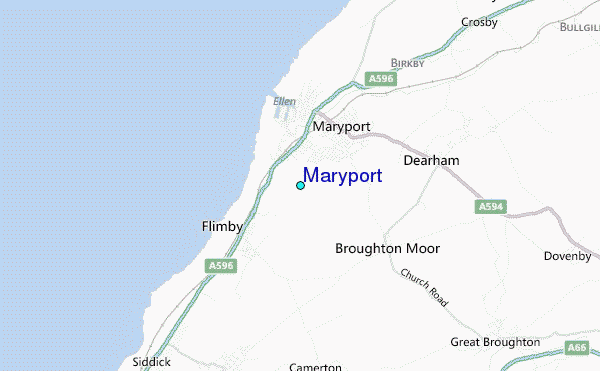
Use this relief map to navigate to tide stations, surf breaks and cities that are in the area of Maryport.
Other Nearby Locations' tide tables and tide charts to Maryport:
click location name for more details
 Surf breaks close to Maryport:
|
||
|---|---|---|
| Closest surf break | Peel | 58 mi |
| Second closest surf break | Castletown | 63 mi |
| Third closest surf break | Gansey | 65 mi |
| Fourth closest surf break | Blyth Beach | 85 mi |
| Fifth closest surf break | Hartley Reef | 85 mi |

 Nearest
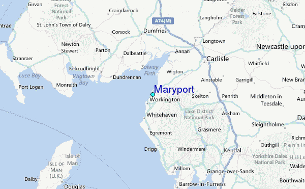