
| Distance / Altitude | Location | Report Date / Time | Live Weather | Wind | Gusts | Temp. | Visibility | Cloud |
|---|---|---|---|---|---|---|---|---|
| 165 km WSW / 15 m | SHIP4508 (Marine) | 2024-04-18 03:00 local (2024/04/18 09:00 GMT) | - (- km/h at -) | — | - km | |||
| 214 km SE / 678 m | Tierras Morenas (Costa Rica) | 2024-04-18 03:33 local (2024/04/18 09:33 GMT) | dry | fresh winds from the SSE (34 km/h at 160) | 21°C | - | - - 0 | |
| 263 km NW / 1063 m | Tegucigalpa/Toncontín International Airport (Honduras) | 2024-04-18 03:00 local (2024/04/18 09:00 GMT) | Visibility reduced by smoke | light winds from the N (11 km/h at 350) | 22°C | 30 km | - clear - | |
| 272 km SE / 89 m | La Vega wx (Costa Rica) | 2024-04-18 03:47 local (2024/04/18 09:47 GMT) | - | - (- km/h at ) | 17°C | - | - - 0 | |
| 320 km SE / 692 m | Juan Santamaria Airport (Costa Rica) | 2024-04-18 02:00 local (2024/04/18 08:00 GMT) | - | light winds from the E.(Wind varies from 070 to 130 degs) (17 km/h at 100) | — | 0.0 |
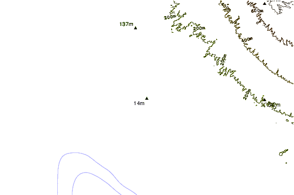
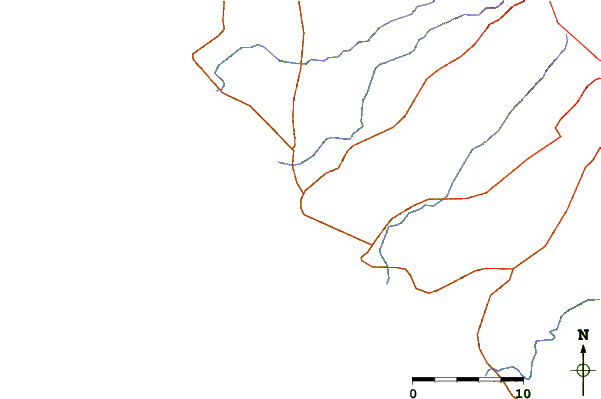
| Contours: | Roads & Rivers: | Select a
tide station / surf break / city |
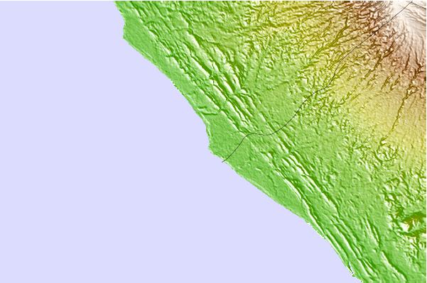
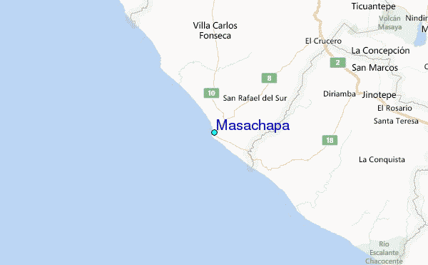
Use this relief map to navigate to tide stations, surf breaks and cities that are in the area of Masachapa.
Other Nearby Locations' tide tables and tide charts to Masachapa:
click location name for more details
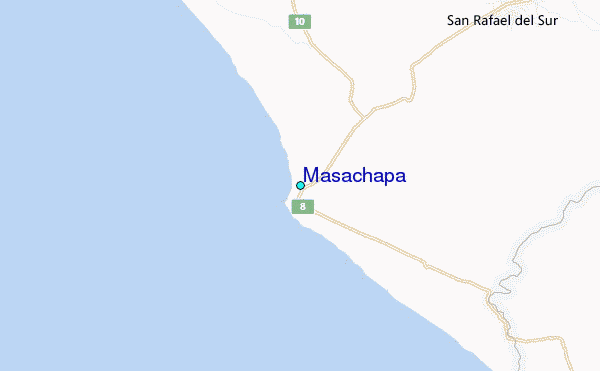
 Surf breaks close to Masachapa:
|
||
|---|---|---|
| Closest surf break | Masa Chapa | 1 mi |
| Second closest surf break | Montelimar | 1 mi |
| Third closest surf break | Melon and Pochomil | 1 mi |
| Fourth closest surf break | Pochomil Viejo | 2 mi |
| Fifth closest surf break | Casares | 7 mi |

 Nearest
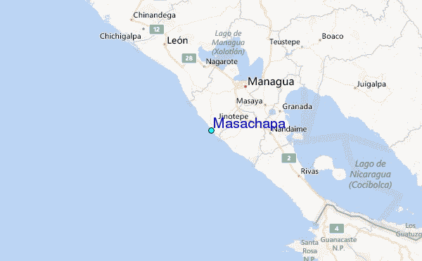