
| Distance / Altitude | Location | Report Date / Time | Live Weather | Wind | Gusts | Temp. | Visibility | Cloud |
|---|---|---|---|---|---|---|---|---|
| 49 km ENE / 3 m | SHIP1975 (Marine) | 2024-04-19 17:00 local (2024/04/19 21:00 GMT) | light winds from the S (9 km/h at 180) | 16°C | - | |||
| 53 km NNE / 195 m | Pointe Des Monts Airport (Quebec) | 2024-04-19 16:00 local (2024/04/19 20:00 GMT) | - | moderate winds from the NE (26 km/h at 40) | 6°C | 0.0 | ||
| 53 km NNE / 6 m | Pointe-Des-Monts- Que (Canada) | 2024-04-19 17:00 local (2024/04/19 21:00 GMT) | - | moderate winds from the NE (26 km/h at 40) | 5°C | - | no observation | |
| 57 km SW / 52 m | Mont-JoliA- Que (Canada) | 2024-04-19 17:00 local (2024/04/19 21:00 GMT) | - | calm (4 km/h at 360) | 10°C | 45 km | mostly cloudy | |
| 57 km SW / 217 m | Mont Joli Airport (Quebec) | 2024-04-19 16:00 local (2024/04/19 20:00 GMT) | Dry and partly cloudy | light winds from the NW.(Wind varies from 240 to 050 degs) (9 km/h at 310) | 13°C | 48 | broken |
| Contours: | Roads & Rivers: | Select a
tide station / surf break / city |
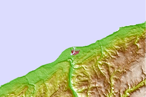
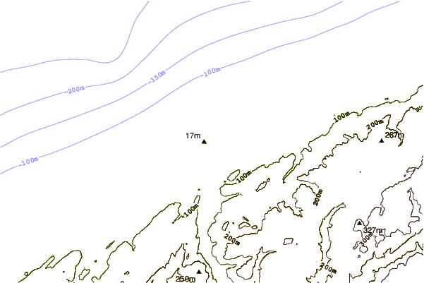
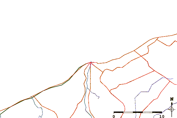
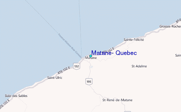
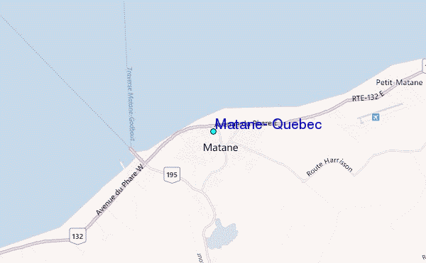
Use this relief map to navigate to tide stations, surf breaks and cities that are in the area of Matane, Quebec.
Other Nearby Locations' tide tables and tide charts to Matane, Quebec:
click location name for more details
 Surf breaks close to Matane, Quebec:
|
||
|---|---|---|
| Closest surf break | Backyards | 351 mi |
| Second closest surf break | Minutes | 351 mi |
| Third closest surf break | Osbourne | 351 mi |
| Fourth closest surf break | Cow Bay | 352 mi |
| Fifth closest surf break | Lawrencetown Right Point | 352 mi |

 Nearest
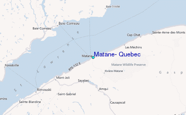