
| Distance / Altitude | Location | Report Date / Time | Live Weather | Wind | Gusts | Temp. | Visibility | Cloud |
|---|---|---|---|---|---|---|---|---|
| 11 km ESE / 213 m | Varadero Airport (Cuba) | 2024-04-25 13:50 local (2024/04/25 17:50 GMT) | - | moderate winds from the NE.(Wind varies from 010 to 070 degs) (26 km/h at 40) | 28°C | 10.0 | few | |
| 89 km WSW / 75 m | AeropuertoJoseMarti- Rancho -Boyeros- Habana (Cuba) | 2024-04-25 14:00 local (2024/04/25 18:00 GMT) | State of sky unchanged | moderate winds from the ENE (22 km/h at 60) | 30°C | 30 km | - few - | |
| 91 km WSW / 212 m | Havana/Jose Martí Airport (Cuba) | 2024-04-25 13:50 local (2024/04/25 17:50 GMT) | - | moderate winds from the ENE.(Wind varies from 030 to 090 degs) (24 km/h at 60) | 30°C | 10.0 | few | |
| 129 km W / 3 m | SHIP7202 (Marine) | 2024-04-25 15:00 local (2024/04/25 19:00 GMT) | - (- km/h at -) | 31°C | - | |||
| 156 km NW / 3 m | BUOY-42095 (Marine) | 2024-04-25 15:00 local (2024/04/25 19:00 GMT) | - (- km/h at -) | 25°C | - |
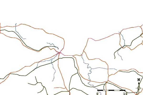
| Contours: | Roads & Rivers: | Select a
tide station / surf break / city |
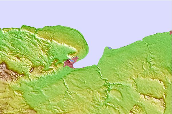
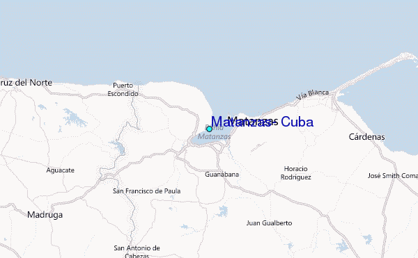
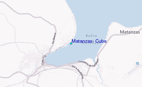
Use this relief map to navigate to tide stations, surf breaks and cities that are in the area of Matanzas, Cuba.
Other Nearby Locations' tide tables and tide charts to Matanzas, Cuba:
click location name for more details
 Surf breaks close to Matanzas, Cuba:
|
||
|---|---|---|
| Closest surf break | South Beach (Miami) | 206 mi |
| Second closest surf break | Fifth Street (Miami) | 208 mi |
| Third closest surf break | Naples Pier | 208 mi |
| Fourth closest surf break | 21st Street (Miami) | 209 mi |
| Fifth closest surf break | Dunes Hotel (Miami) | 209 mi |

 Nearest
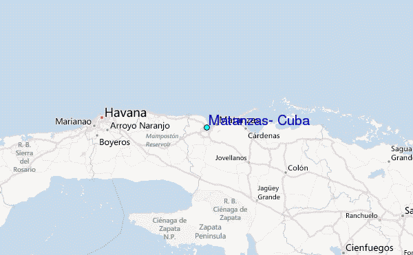