
| Distance / Altitude | Location | Report Date / Time | Live Weather | Wind | Gusts | Temp. | Visibility | Cloud |
|---|---|---|---|---|---|---|---|---|
| 5 km NW / 12 m | PrayaLombok (Indonesia) | 2024-04-26 02:00 local (2024/04/25 18:00 GMT) | - | calm (0 km/h at 0) | 25°C | 27 km | mostly cloudy | |
| 24 km SE / 97 m | Bandara Airport (Indonesia) | 2024-04-26 01:30 local (2024/04/25 17:30 GMT) | Dry and partly cloudy | calm (0 km/h at 0) | 26°C | 7.0 | broken | |
| 105 km WSW / 1 m | DenpasarNgurahRai (Indonesia) | 2024-04-26 02:00 local (2024/04/25 18:00 GMT) | - | light winds from the E (7 km/h at 90) | 27°C | 30 km | overcast | |
| 106 km WSW / 216 m | Bali International Airport (Indonesia) | 2024-04-26 01:30 local (2024/04/25 17:30 GMT) | Dry and partly cloudy | calm (4 km/h at 1) | 27°C | 10.0 | scattered | |
| 143 km E / 3 m | SumbawaBesarBrangbiji (Indonesia) | 2024-04-26 02:00 local (2024/04/25 18:00 GMT) | - | light winds from the SE (7 km/h at 130) | 26°C | 28 km | scattered |
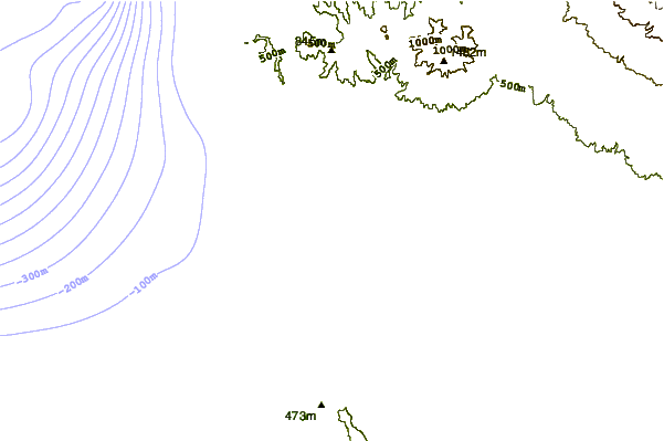
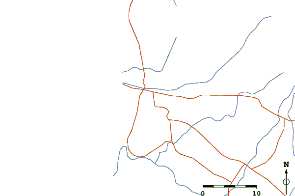
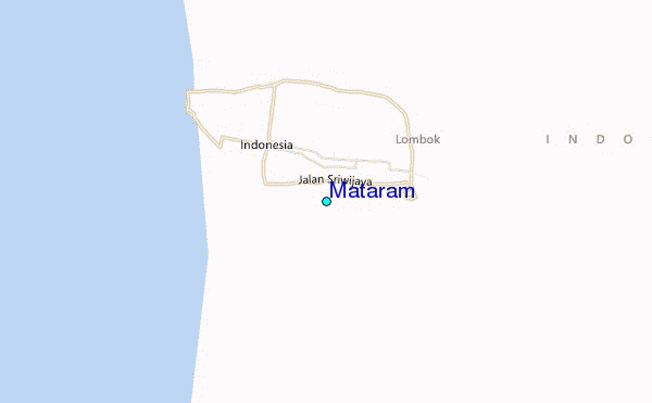
| Contours: | Roads & Rivers: | Select a
tide station / surf break / city |
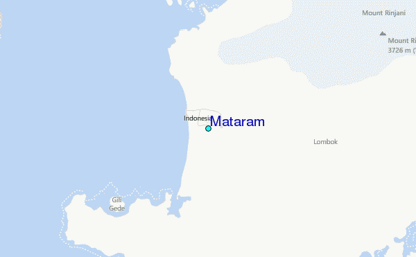
Use this relief map to navigate to tide stations, surf breaks and cities that are in the area of Mataram.
Other Nearby Locations' tide tables and tide charts to Mataram:
click location name for more details
 Surf breaks close to Mataram:
|
||
|---|---|---|
| Closest surf break | Senggigi | 9 mi |
| Second closest surf break | Gili Air-Pertama | 16 mi |
| Third closest surf break | Safari Island | 19 mi |
| Fourth closest surf break | Belongas | 20 mi |
| Fifth closest surf break | Mawi | 21 mi |

 Nearest
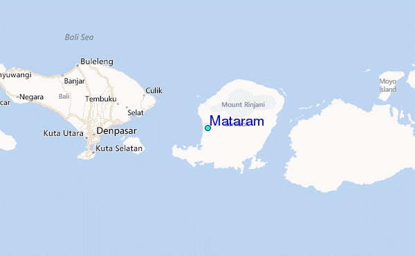