
| Distance / Altitude | Location | Report Date / Time | Live Weather | Wind | Gusts | Temp. | Visibility | Cloud |
|---|---|---|---|---|---|---|---|---|
| 56 km SW / 35 m | Masbate (Philippines) | 2024-04-25 16:00 local (2024/04/25 08:00 GMT) | no report | light winds from the ESE (7 km/h at 110) | 33°C | 20 | - | |
| 57 km SW / 210 m | Macatan Airport (Philippines) | 2024-04-25 16:00 local (2024/04/25 08:00 GMT) | no report | light winds from the ENE (14 km/h at 60) | 32°C | 10 | few - - | |
| 73 km NW / 15 m | Legaspi (Philippines) | 2024-04-25 16:00 local (2024/04/25 08:00 GMT) | no report | light winds from the ENE (7 km/h at 70) | 33°C | 18 | - | |
| 124 km SE / 96 m | Catbalogan-Samar (Philippines) | 2024-04-25 16:00 local (2024/04/25 08:00 GMT) | no report | - (- km/h at -) | 35°C | 30 | - | |
| 179 km SE / 95 m | Borongan (Philippines) | 2024-04-25 16:00 local (2024/04/25 08:00 GMT) | haze | calm (4 km/h at 80) | 31°C | 30 | - |
| Contours: | Roads & Rivers: | Select a
tide station / surf break / city |
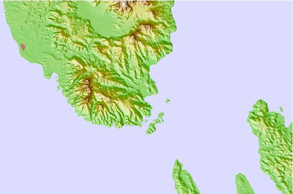
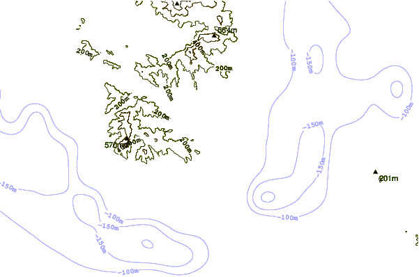
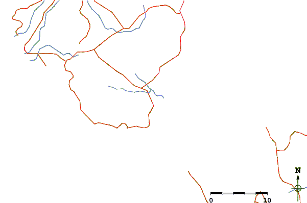
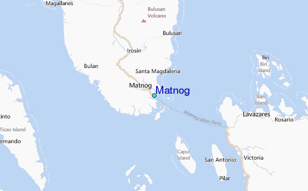
Use this relief map to navigate to tide stations, surf breaks and cities that are in the area of Matnog.
Other Nearby Locations' tide tables and tide charts to Matnog:
click location name for more details
 Surf breaks close to Matnog:
|
||
|---|---|---|
| Closest surf break | Virac Harbour | 68 mi |
| Second closest surf break | Moning | 75 mi |
| Third closest surf break | Lucky Point | 78 mi |
| Fourth closest surf break | Majestics | 79 mi |
| Fifth closest surf break | Point B | 79 mi |

 Nearest
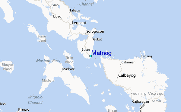