
| Distance / Altitude | Location | Report Date / Time | Live Weather | Wind | Gusts | Temp. | Visibility | Cloud |
|---|---|---|---|---|---|---|---|---|
| 173 km ENE / 296 m | Providenciales Airport (Bahamas) | 2026-06-08 22:00 local (2026/06/09 02:00 GMT) | - | light winds from the ENE (7 km/h at 60) | 28°C | 10.0 | few | |
| 182 km SSW / 0 m | lightning 74km ESE of Guantanamo (Cuba) | 2026-06-08 22:18 local (2026/06/09 02:18 GMT) | Thunderstorm | (- km/h at -) | — | |||
| 184 km ENE / 1 m | Kingston wx (Turks and Caicos Islands) | 2026-06-08 23:46 local (2026/06/09 03:46 GMT) | dry | light winds from the ESE (13 km/h at 117) | 28°C | - | - - 0 | |
| 199 km SSW / 203 m | Guantanamo Bay Airport (Cuba) | 2026-06-08 21:51 local (2026/06/09 01:51 GMT) | - | calm (0 km/h at 0) | 28°C | 16 | few few scattered | |
| 202 km ENE / 0 m | Sandy Point (Turks and Caicos Islands) | 2026-06-08 23:29 local (2026/06/09 03:29 GMT) | dry | calm (0 km/h at 224) | 26°C | - | - - 0 | |
| 249 km SW / 209 m | Santiago De Cuba Airport (Cuba) | 2026-06-08 21:50 local (2026/06/09 01:50 GMT) | - | moderate winds from the SW.(Wind varies from 190 to 250 degs) (28 km/h at 220) | — | 0.0 | ||
| 275 km WSW / 208 m | Holguin Airport (Cuba) | 2026-06-08 21:50 local (2026/06/09 01:50 GMT) | - | light winds from the SSE (7 km/h at 160) | 23°C | 8.0 | few | |
| 316 km ESE / 64 m | Mao (Dominican Republic) | 2026-06-08 23:06 local (2026/06/09 03:06 GMT) | dry | calm (0 km/h at 278) | 24°C | - | - - 0 | |
| 351 km ESE / 466 m | Puerto Plata IN Airport (Dominican Republic) | 2026-06-08 22:00 local (2026/06/09 02:00 GMT) | Dry and partly cloudy | calm (0 km/h at 0) | 26°C | 10.0 | few broken | |
| 352 km ESE / 209 m | Santiago International Airport (Dominican Republic) | 2026-06-08 22:00 local (2026/06/09 02:00 GMT) | Dry and cloudy | light winds from the E.(Wind varies from 060 to 140 degs) (7 km/h at 100) | 27°C | 10.0 | few scattered overcast |
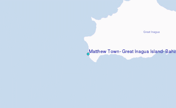
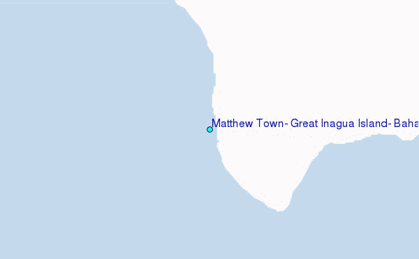
Choose Matthew Town, Great Inagua Island, Bahamas Location Map Zoom:
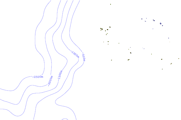
| Contours: | Roads & Rivers: | Select a
tide station / surf break / city |
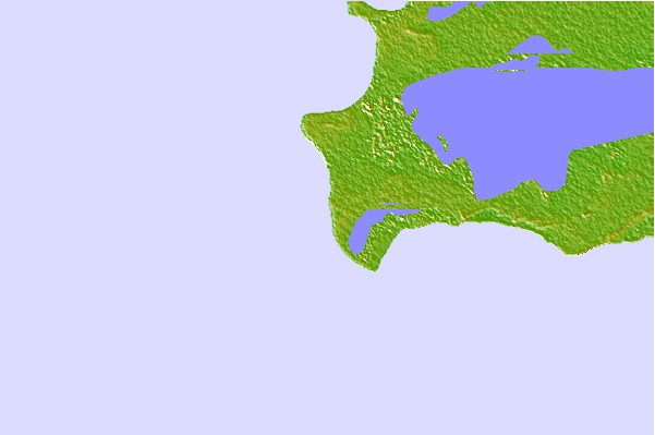

Use this relief map to navigate to tide stations, surf breaks and cities that are in the area of Matthew Town, Great Inagua Island, Bahamas.
Other Nearby Locations' tide tables and tide charts to Matthew Town, Great Inagua Island, Bahamas:
click location name for more details
 Surf breaks close to Matthew Town, Great Inagua Island, Bahamas:
|
||
|---|---|---|
| Closest surf break | Grace Bay Cut (Providenciales) | 112 mi |
| Second closest surf break | Fort George Cut (Pine Cay) | 118 mi |
| Third closest surf break | Pine Cay Shorebreak | 119 mi |
| Fourth closest surf break | Mudjin Harbour (Middle-Caicos) | 135 mi |
| Fifth closest surf break | Jacmel | 203 mi |


 Nearest
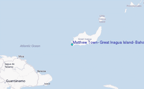