
| Distance / Altitude | Location | Report Date / Time | Live Weather | Wind | Gusts | Temp. | Visibility | Cloud |
|---|---|---|---|---|---|---|---|---|
| 174 km NW / 1 m | Inukjuak (Canada) | 2024-04-19 23:00 local (2024/04/20 03:00 GMT) | Dry and cloudy | strong winds from the NE (44 km/h at 50) | -4°C | 0.0 | - overcast overcast | |
| 205 km S / 12 m | Kuujjuarapik Arpt (Canada) | 2024-04-19 23:00 local (2024/04/20 03:00 GMT) | no report | calm (4 km/h at 260) | 3°C | - | - no observation - | |
| 206 km S / 164 m | Kuujjuarapik Airport (Quebec) | 2024-04-19 22:11 local (2024/04/20 02:11 GMT) | Fog - | light winds from the NNW (6 km/h at 330) | 1°C | 0 | broken overcast | |
| 252 km ENE / 171 m | Riviere Aux Feuilles- Que (Canada) | 2024-04-19 21:00 local (2024/04/20 01:00 GMT) | no report | fresh winds from the ENE (32 km/h at 70) | -3°C | - | - | |
| 333 km N / 339 m | Puvirnituq Airport (Quebec) | 2024-04-19 22:00 local (2024/04/20 02:00 GMT) | Dry and cloudy | moderate winds from the NNE (28 km/h at 30) | -8°C | 14 | overcast |
| Contours: | Roads & Rivers: | Select a
tide station / surf break / city |
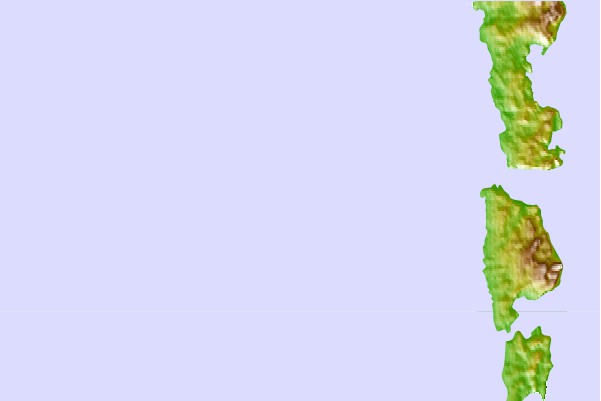
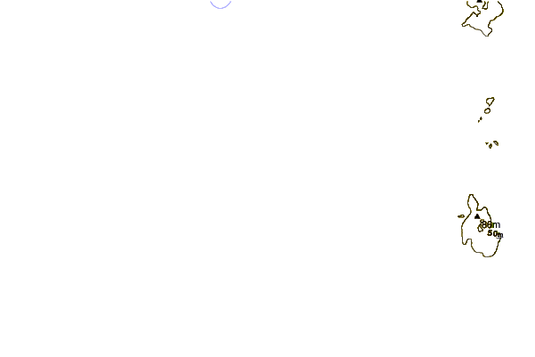
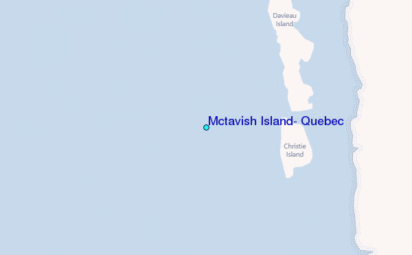
Use this relief map to navigate to tide stations, surf breaks and cities that are in the area of Mctavish Island, Quebec.
Other Nearby Locations' tide tables and tide charts to Mctavish Island, Quebec:
click location name for more details
 Surf breaks close to Mctavish Island, Quebec:
|
||
|---|---|---|
| Closest surf break | Marathon | 701 mi |
| Second closest surf break | Alona Bay | 759 mi |
| Third closest surf break | Keweenaw Peninsula | 815 mi |
| Fourth closest surf break | Grand Marias | 817 mi |
| Fifth closest surf break | Au Sable Point | 818 mi |

 Nearest
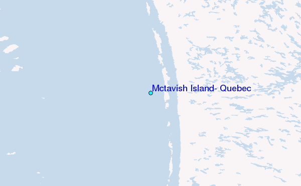