
| Distance / Altitude | Location | Report Date / Time | Live Weather | Wind | Gusts | Temp. | Visibility | Cloud |
|---|---|---|---|---|---|---|---|---|
| 0 km N / 37 m | Myeik (Myanmar) | 2024-04-24 22:30 local (2024/04/24 16:00 GMT) | no report | light winds from the NE (6 km/h at 40) | 33°C | 4000 | - | |
| 124 km E / 108 m | Nong Phlub Agromet (Thailand) | 2024-04-24 22:30 local (2024/04/24 16:00 GMT) | mist | - (- km/h at -) | 30°C | 6 | - | |
| 147 km ESE / 6 m | Prachuap Khirikhan (Thailand) | 2024-04-24 22:30 local (2024/04/24 16:00 GMT) | mist | - (- km/h at -) | 31°C | 6 | - | |
| 148 km E / 6 m | Hua Hin Airport (Thailand) | 2024-04-24 22:30 local (2024/04/24 16:00 GMT) | mist | light winds from the S (11 km/h at 190) | 30°C | 8 | - | |
| 148 km E / 6 m | Hua Hin (Thailand) | 2024-04-24 22:30 local (2024/04/24 16:00 GMT) | mist | light winds from the S (11 km/h at 190) | 30°C | 8 | - scattered - |
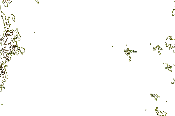
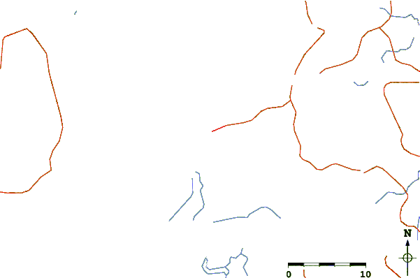
| Contours: | Roads & Rivers: | Select a
tide station / surf break / city |
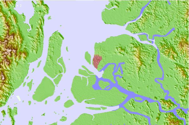
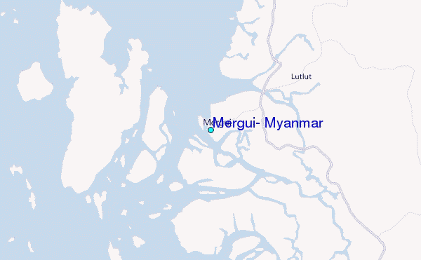
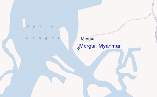
Use this relief map to navigate to tide stations, surf breaks and cities that are in the area of Mergui, Myanmar.
Other Nearby Locations' tide tables and tide charts to Mergui, Myanmar:
click location name for more details
 Surf breaks close to Mergui, Myanmar:
|
||
|---|---|---|
| Closest surf break | Prachuap Khiri Khan | 92 mi |
| Second closest surf break | Bang Saphan | 106 mi |
| Third closest surf break | Mae Ram Phueng | 106 mi |
| Fourth closest surf break | Koh Phayam | 188 mi |
| Fifth closest surf break | Rayong Mae Ramphung Beach | 190 mi |

 Nearest
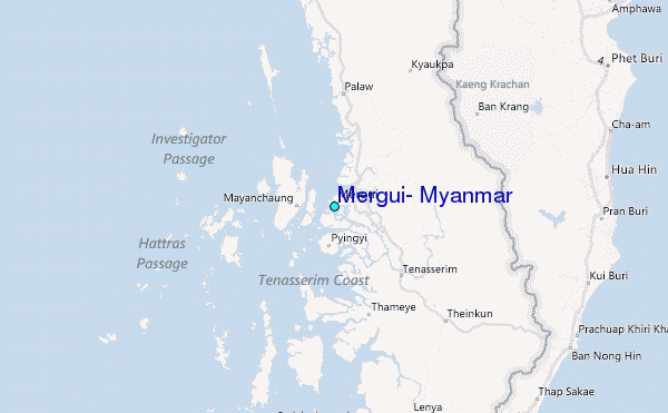