
| Distance / Altitude | Location | Report Date / Time | Live Weather | Wind | Gusts | Temp. | Visibility | Cloud |
|---|---|---|---|---|---|---|---|---|
| 91 km S / 203 m | Guantanamo Bay Airport (Cuba) | 2024-04-20 09:51 local (2024/04/20 13:51 GMT) | - | light winds from the N (17 km/h at 350) | 28°C | 16 | few | |
| 121 km SSW / 209 m | Santiago De Cuba Airport (Cuba) | 2024-04-20 09:50 local (2024/04/20 13:50 GMT) | Dry and partly cloudy | light winds from the N.(Wind varies from 340 to 040 degs) (17 km/h at 10) | 28°C | 9.0 | no significant cloud | |
| 144 km WSW / 208 m | Holguin Airport (Cuba) | 2024-04-20 09:50 local (2024/04/20 13:50 GMT) | Dry and partly cloudy | moderate winds from the NE (26 km/h at 50) | 28°C | 9.0 | scattered | |
| 153 km WNW / 15 m | SHIP3730 (Marine) | 2024-04-20 09:00 local (2024/04/20 13:00 GMT) | - (- km/h at -) | — | - km | |||
| 152 km WNW / 3 m | SHIP598 (Marine) | 2024-04-20 09:00 local (2024/04/20 13:00 GMT) | - (- km/h at -) | 25°C | - |
| Contours: | Roads & Rivers: | Select a
tide station / surf break / city |
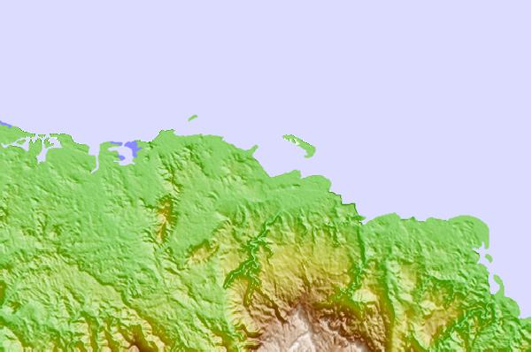
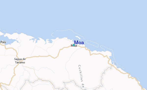
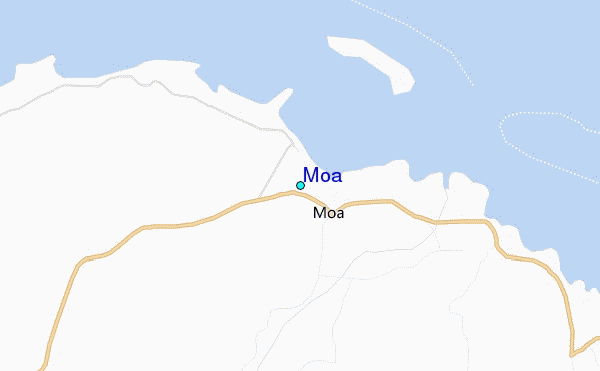
Use this relief map to navigate to tide stations, surf breaks and cities that are in the area of Moa.
Other Nearby Locations' tide tables and tide charts to Moa:
click location name for more details
 Surf breaks close to Moa:
|
||
|---|---|---|
| Closest surf break | Grace Bay Cut (Providenciales) | 193 mi |
| Second closest surf break | Winnifred Beach | 196 mi |
| Third closest surf break | Boston Bay | 196 mi |
| Fourth closest surf break | Navy Island | 197 mi |
| Fifth closest surf break | Long Bay | 198 mi |

 Nearest
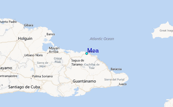