
| Distance / Altitude | Location | Report Date / Time | Live Weather | Wind | Gusts | Temp. | Visibility | Cloud |
|---|---|---|---|---|---|---|---|---|
| 71 km S / 5 m | Matuku (Fiji) | 2024-04-26 06:00 local (2024/04/25 18:00 GMT) | - | calm (2 km/h at 10) | 27°C | - | no observation | |
| 134 km ENE / 3 m | Lakemba Island (Fiji) | 2024-04-26 08:00 local (2024/04/25 20:00 GMT) | - | calm (0 km/h at 40) | 27°C | - | - no observation - | |
| 155 km WSW / 15 m | SHIP5225 (Marine) | 2024-04-26 06:00 local (2024/04/25 18:00 GMT) | - (- km/h at -) | — | - km | |||
| 157 km W / 7 m | Nausori (Fiji) | 2024-04-26 06:00 local (2024/04/25 18:00 GMT) | Clouds dissolving | calm (4 km/h at 990) | 25°C | >50 km | few | |
| 157 km W / 106 m | Nausori International Airport (Fiji/tonga/tuvalu) | 2024-04-26 07:15 local (2024/04/25 19:15 GMT) | Mist - | calm (0 km/h at 0) | 24°C | 1.5 | few |
| Contours: | Roads & Rivers: | Select a
tide station / surf break / city |
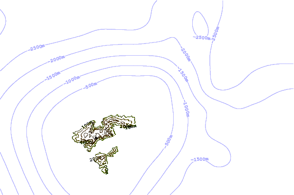
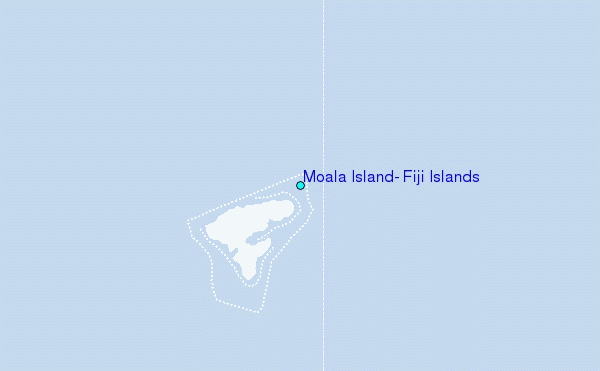
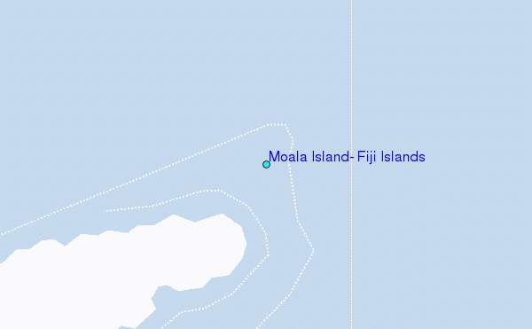
Use this relief map to navigate to tide stations, surf breaks and cities that are in the area of Moala Island, Fiji Islands.
Other Nearby Locations' tide tables and tide charts to Moala Island, Fiji Islands:
click location name for more details
 Surf breaks close to Moala Island, Fiji Islands:
|
||
|---|---|---|
| Closest surf break | Typhoon Alley | 101 mi |
| Second closest surf break | Lighthouse | 104 mi |
| Third closest surf break | Vesi Passage | 105 mi |
| Fourth closest surf break | Frigates | 128 mi |
| Fifth closest surf break | Serua Rights | 134 mi |

 Nearest
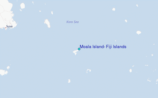