
| Distance / Altitude | Location | Report Date / Time | Live Weather | Wind | Gusts | Temp. | Visibility | Cloud |
|---|---|---|---|---|---|---|---|---|
| 1 km SSE / 132 m | Pacific Palisades wx (United States) | 2026-06-08 17:21 local (2026/06/09 03:21 GMT) | dry | calm (5 km/h at 95) | 24°C | - | - - 0 | |
| 6 km SSW / 3 m | SHIP3495 (Marine) | 2026-06-08 16:00 local (2026/06/09 02:00 GMT) | fresh winds from the NE (30 km/h at 50) | 25°C | - | |||
| 6 km SSW / - m | SHIP1789 (ocean) | 2026-06-08 17:00 local (2026/06/09 03:00 GMT) | No report | moderate winds from the NE (20 km/h at 40) | 25°C | - | no observation | |
| 6 km SSW / 15 m | SHIP4412 (Marine) | 2026-06-08 17:00 local (2026/06/09 03:00 GMT) | light winds from the NNE (16.56 km/h at 30) | — | - km | |||
| 6 km SSW / - m | SHIP271 (ocean) | 2026-06-08 17:00 local (2026/06/09 03:00 GMT) | No report | light winds from the NE (19 km/h at 40) | 25°C | - | no observation | |
| 6 km SSW / 3 m | SHIP9670 (Marine) | 2026-06-08 16:00 local (2026/06/09 02:00 GMT) | fresh winds from the NE (32 km/h at 50) | 26°C | - | |||
| 6 km SSW / - m | SHIP1396 (ocean) | 2026-06-08 18:00 local (2026/06/09 04:00 GMT) | No report | light winds from the ENE (19 km/h at 60) | 25°C | - | no observation | |
| 6 km SSW / 15 m | SHIP7676 (Marine) | 2026-06-08 16:00 local (2026/06/09 02:00 GMT) | fresh winds from the NE (29.52 km/h at 50) | — | - km | |||
| 6 km SSW / 3 m | SHIP5255 (Marine) | 2026-06-08 16:00 local (2026/06/09 02:00 GMT) | fresh winds from the NE (30 km/h at 50) | 25°C | - | |||
| 6 km SSW / 15 m | SHIP7289 (Marine) | 2026-06-08 17:00 local (2026/06/09 03:00 GMT) | light winds from the NE (16.56 km/h at 40) | — | - km |
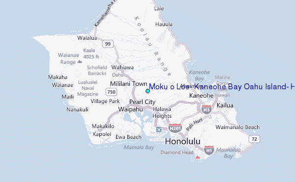
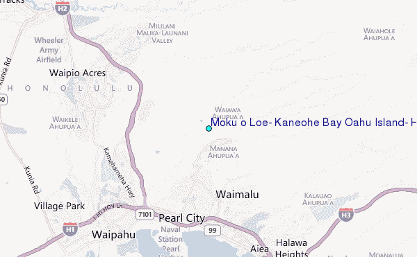
Choose Moku o Loe, Kaneohe Bay Oahu Island, Hawaii Location Map Zoom:
| Contours: | Roads & Rivers: | Select a
tide station / surf break / city |
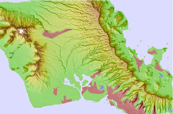
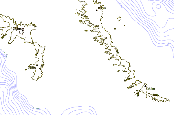
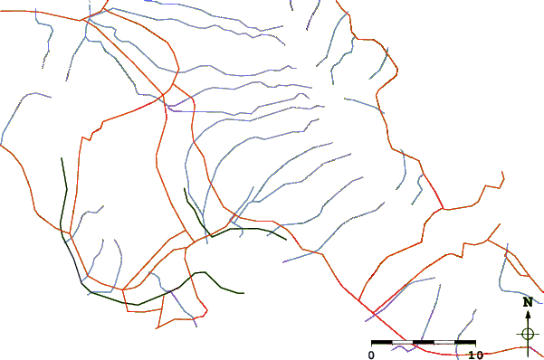
Use this relief map to navigate to tide stations, surf breaks and cities that are in the area of Moku o Loe, Kaneohe Bay Oahu Island, Hawaii.
Other Nearby Locations' tide tables and tide charts to Moku o Loe, Kaneohe Bay Oahu Island, Hawaii:
click location name for more details
 Surf breaks close to Moku o Loe, Kaneohe Bay Oahu Island, Hawaii:
|
||
|---|---|---|
| Closest surf break | Ewa Beach Park | 9 mi |
| Second closest surf break | Reef Runway (Hickam Harbor) | 9 mi |
| Third closest surf break | Chinamans Hat/Mokolii | 9 mi |
| Fourth closest surf break | Duds Reef | 9 mi |
| Fifth closest surf break | Empty Lots | 9 mi |


 Nearest
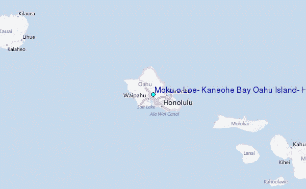