
| Distance / Altitude | Location | Report Date / Time | Live Weather | Wind | Gusts | Temp. | Visibility | Cloud |
|---|---|---|---|---|---|---|---|---|
| 360 km SE / 300.2 m | Lebel-sur-Quevillon (Canada) | 2024-04-19 00:01 local (2024/04/19 04:01 GMT) | dry | calm (0 km/h at 176) | 6°C | - | - - 0 | |
| 381 km SSE / 324 m | Cadillac wx (Canada) | 2024-04-19 00:49 local (2024/04/19 04:49 GMT) | dry | calm (3 km/h at 94) | 6°C | - | - - 0 | |
| 427 km SSE / 641 m | White Shields- West Mc Lean Airport (North Dakota) (United States) | 2024-04-19 01:16 local (2024/04/19 05:16 GMT) | Dry and cloudy | strong winds from the NW (39 km/h at 320) | -5°C | 16 | few scattered overcast | |
| 540 km S / 224 m | Sudbury (Canada) | 2024-04-19 02:12 local (2024/04/19 06:12 GMT) | dry | calm (3 km/h at 277) | 6°C | - | - - 0 | |
| 589 km SSW / 15 m | SHIP10319 (Marine) | 2024-04-19 00:00 local (2024/04/19 04:00 GMT) | fresh winds from the S (37.080000000000005 km/h at 180) | — | - km |
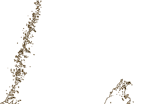
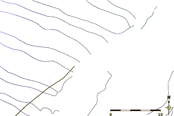
| Contours: | Roads & Rivers: | Select a
tide station / surf break / city |
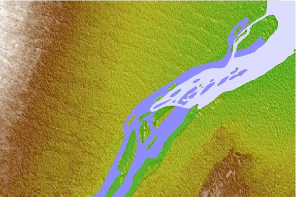
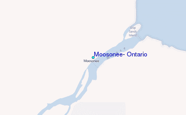
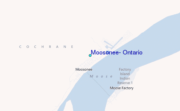
Use this relief map to navigate to tide stations, surf breaks and cities that are in the area of Moosonee, Ontario.
Other Nearby Locations' tide tables and tide charts to Moosonee, Ontario:
click location name for more details
 Surf breaks close to Moosonee, Ontario:
|
||
|---|---|---|
| Closest surf break | Marathon | 316 mi |
| Second closest surf break | Alona Bay | 339 mi |
| Third closest surf break | Manitoulin Island | 393 mi |
| Fourth closest surf break | Grand Marias | 404 mi |
| Fifth closest surf break | Au Sable Point | 405 mi |

 Nearest
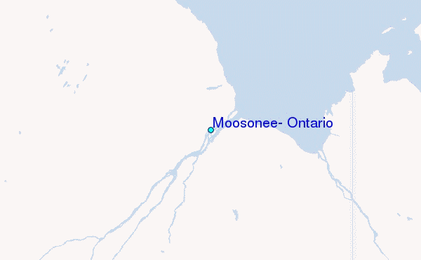