
| Distance / Altitude | Location | Report Date / Time | Live Weather | Wind | Gusts | Temp. | Visibility | Cloud |
|---|---|---|---|---|---|---|---|---|
| 249 km WSW / 1124 m | Ataq Airport (Yemen) | 2024-04-16 15:00 local (2024/04/16 12:00 GMT) | - | light winds from the SSE (19 km/h at 160) | 33°C | 10.0 | few | |
| 362 km S / 21 m | Bosaso Airport (Somalia) | 2024-04-16 14:00 local (2024/04/16 11:00 GMT) | - | light winds from the NNW (19 km/h at 330) | 34°C | 10.0 | few | |
| 389 km NW / 690 m | Sharurah Airport (Saudi Arabia) | 2024-04-16 14:00 local (2024/04/16 11:00 GMT) | Dry and partly cloudy | light winds from the N (19 km/h at 360) | — | 0.0 | few scattered scattered | |
| 491 km SW / 184 m | Aden International Airport (Yemen) | 2024-04-16 14:00 local (2024/04/16 11:00 GMT) | Dry and partly cloudy | moderate winds from the ESE (28 km/h at 110) | 33°C | 0.0 | few scattered | |
| 596 km ENE / 217 m | Salalah Airport (Oman) | 2024-04-16 13:50 local (2024/04/16 10:50 GMT) | Dry and partly cloudy | moderate winds from the S (28 km/h at 190) | 32°C | 10.0 | broken |
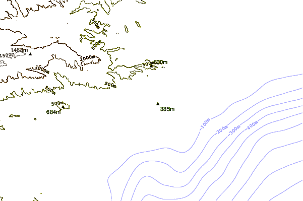
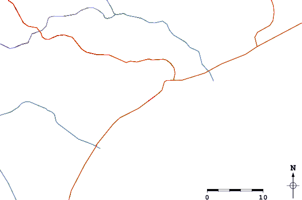
| Contours: | Roads & Rivers: | Select a
tide station / surf break / city |
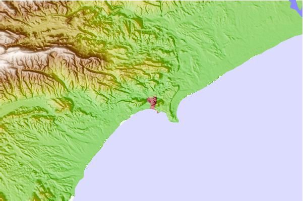
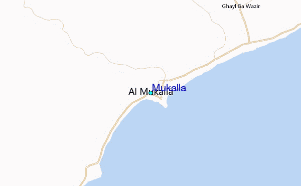
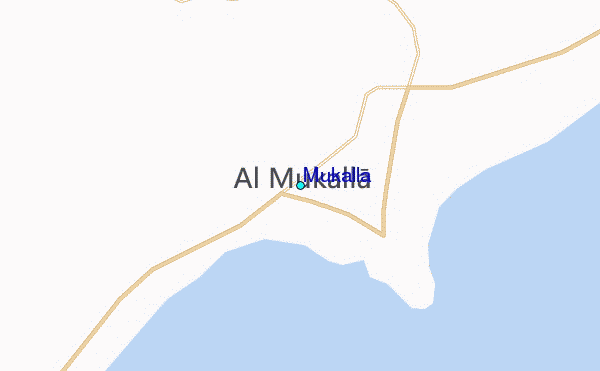
Use this relief map to navigate to tide stations, surf breaks and cities that are in the area of Mukalla.
Other Nearby Locations' tide tables and tide charts to Mukalla:
click location name for more details
 Surf breaks close to Mukalla:
|
||
|---|---|---|
| Closest surf break | Pirights | 311 mi |
| Second closest surf break | Qulansiyah | 320 mi |
| Third closest surf break | Ras Kaydah | 750 mi |
| Fourth closest surf break | Haqal | 752 mi |
| Fifth closest surf break | Shi-inzi | 768 mi |

 Nearest
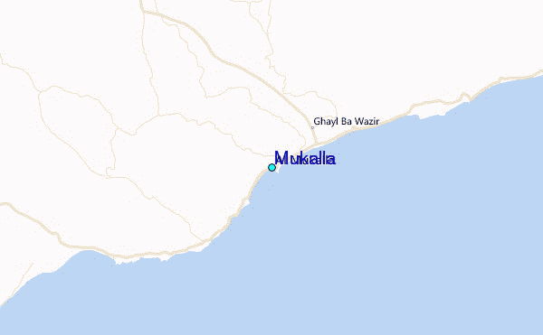