
| Distance / Altitude | Location | Report Date / Time | Live Weather | Wind | Gusts | Temp. | Visibility | Cloud |
|---|---|---|---|---|---|---|---|---|
| 3 km SSE / 218 m | Everett Airport (Washington) | 2024-04-17 19:53 local (2024/04/18 02:53 GMT) | Clear | light winds from the NW (9 km/h at 320) | 11°C | 16 | ||
| 22 km SE / 137.2 m | Woodinville (Washington) | 2024-04-17 20:10 local (2024/04/18 03:10 GMT) | dry | calm (2 km/h at 200) | 6°C | - | - - 0 | |
| 24 km NE / 120 m | Getchell wx (United States) | 2024-04-17 21:16 local (2024/04/18 04:16 GMT) | dry | calm (2 km/h at 292) | 7°C | - | - - 0 | |
| 27 km E / 188 m | Jamison Corner wx (United States) | 2024-04-17 21:15 local (2024/04/18 04:15 GMT) | dry | calm (0 km/h at ) | 7°C | - | - - 0 | |
| 27 km NNE / 197 m | Arlington Municipal Airport (Washington) | 2024-04-17 19:56 local (2024/04/18 02:56 GMT) | Clear | light winds from the NNW (11 km/h at 330) | 11°C | 16 |
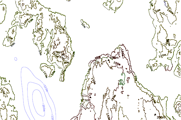
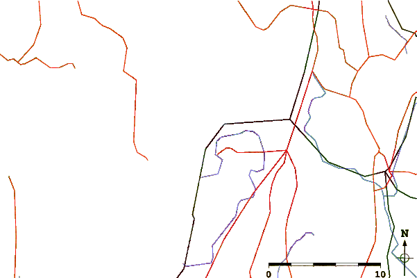
| Contours: | Roads & Rivers: | Select a
tide station / surf break / city |
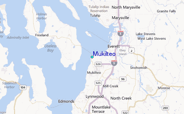
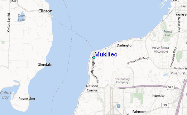
Use this relief map to navigate to tide stations, surf breaks and cities that are in the area of Mukilteo.
Other Nearby Locations' tide tables and tide charts to Mukilteo:
click location name for more details
 Surf breaks close to Mukilteo:
|
||
|---|---|---|
| Closest surf break | Fort. Ebey | 29 mi |
| Second closest surf break | Super green | 47 mi |
| Third closest surf break | Elwha | 60 mi |
| Fourth closest surf break | Crescent | 67 mi |
| Fifth closest surf break | Whiskey Creek | 70 mi |

 Nearest
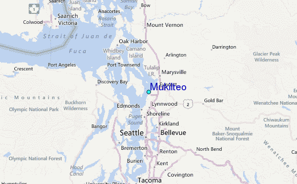