
| Distance / Altitude | Location | Report Date / Time | Live Weather | Wind | Gusts | Temp. | Visibility | Cloud |
|---|---|---|---|---|---|---|---|---|
| 418 km ESE / 89 m | Mangareva (French Polynesia) | 2026-06-08 20:00 local (2026/06/09 06:00 GMT) | no report | wind obs. (7 kph from 270 degs) was rejected (- km/h at -) | 20°C | - | - | |
| 474 km NW / 3 m | Hao/tuamoto (mil (Samoa/polynesia) | 2026-06-08 19:30 local (2026/06/09 05:30 GMT) | - | fresh winds from the ESE (33 km/h at 110) | 25°C | 10.0 | ||
| 476 km NW / 5 m | Hao (French Polynesia) | 2026-06-08 20:00 local (2026/06/09 06:00 GMT) | no report | light winds from the SE (11 km/h at 130) | 23°C | 20 | - | |
| 520 km E / 15 m | ASCATB226E22S (Marine) | 2026-06-08 19:33 local (2026/06/09 05:33 GMT) | fresh winds from the SSE (29 km/h at 154) | — | - km | |||
| 522 km ENE / 15 m | ASCATB226E21S (Marine) | 2026-06-08 19:33 local (2026/06/09 05:33 GMT) | fresh winds from the SSE (33 km/h at 148) | — | - km | |||
| 529 km E / 15 m | ASCATB226E23S (Marine) | 2026-06-08 19:33 local (2026/06/09 05:33 GMT) | moderate winds from the SE (23 km/h at 126) | — | - km | |||
| 558 km ENE / 15 m | ASCATB226E20S (Marine) | 2026-06-08 19:33 local (2026/06/09 05:33 GMT) | fresh winds from the SE (33 km/h at 134) | — | - km | |||
| 560 km ESE / 15 m | ASCATB226E24S (Marine) | 2026-06-08 19:32 local (2026/06/09 05:32 GMT) | fresh winds from the SE (32 km/h at 138) | — | - km | |||
| 564 km NE / 15 m | ASCATB225E19S (Marine) | 2026-06-08 19:34 local (2026/06/09 05:34 GMT) | fresh winds from the SE (37 km/h at 137) | — | - km | |||
| 583 km E / 15 m | ASCATB227E22S (Marine) | 2026-06-08 19:33 local (2026/06/09 05:33 GMT) | moderate winds from the SSE (28 km/h at 150) | — | - km |
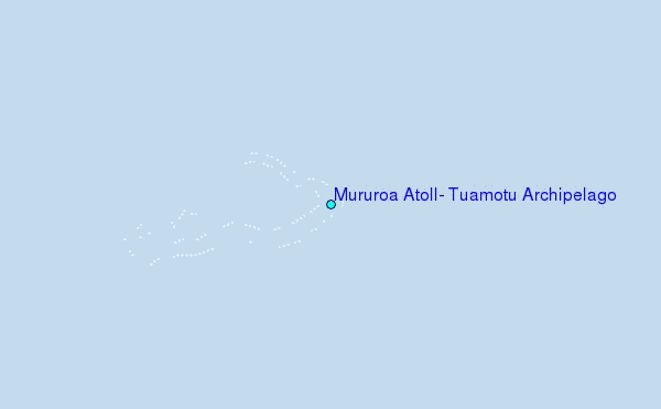
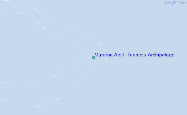
Choose Mururoa Atoll, Tuamotu Archipelago Location Map Zoom:
| Contours: | Roads & Rivers: | Select a
tide station / surf break / city |
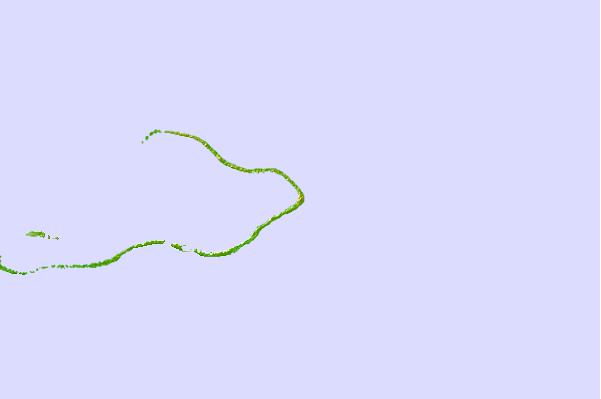
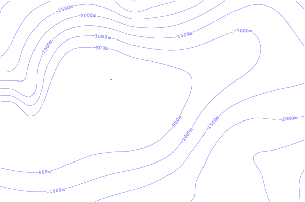
Use this relief map to navigate to tide stations, surf breaks and cities that are in the area of Mururoa Atoll, Tuamotu Archipelago.
Other Nearby Locations' tide tables and tide charts to Mururoa Atoll, Tuamotu Archipelago:
click location name for more details
 Surf breaks close to Mururoa Atoll, Tuamotu Archipelago:
|
||
|---|---|---|
| Closest surf break | Teahupo’o | 734 mi |
| Second closest surf break | Vairao | 738 mi |
| Third closest surf break | Faaone | 742 mi |
| Fourth closest surf break | Ins and Outs | 745 mi |
| Fifth closest surf break | Papara Beach | 751 mi |


 Nearest
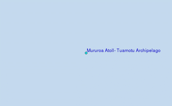