
| Distance / Altitude | Location | Report Date / Time | Live Weather | Wind | Gusts | Temp. | Visibility | Cloud |
|---|---|---|---|---|---|---|---|---|
| 2 km N / 211 m | King Salmon Airport (Alaska) | 2024-04-19 17:54 local (2024/04/20 01:54 GMT) | Dry and partly cloudy | fresh winds from the NE (33 km/h at 50) | 8°C | 16 | scattered | |
| 2 km WNW / 16 m | KingSalmon-AK (United States) | 2024-04-19 19:00 local (2024/04/20 03:00 GMT) | - | fresh winds from the NE (37 km/h at 40) | 8°C | 36 km | scattered | |
| 21 km WSW / 49 m | South Naknek (AK) (Alaska) | 2024-04-19 17:56 local (2024/04/20 01:56 GMT) | Dry and cloudy | fresh winds from the E (35 km/h at 90) | 6°C | 16 | broken overcast | |
| 84 km NNE / 28 m | Igiugig Airport (Alaska) | 2024-04-19 17:56 local (2024/04/20 01:56 GMT) | Dry and cloudy | light winds from the ENE (17 km/h at 70) | 4°C | 16 | overcast | |
| 96 km NW / 92 m | New Stuyahok Airport (Alaska) | 2024-04-19 17:56 local (2024/04/20 01:56 GMT) | Dry and partly cloudy | fresh winds from the E (30 km/h at 80) | 4°C | 16 | scattered |
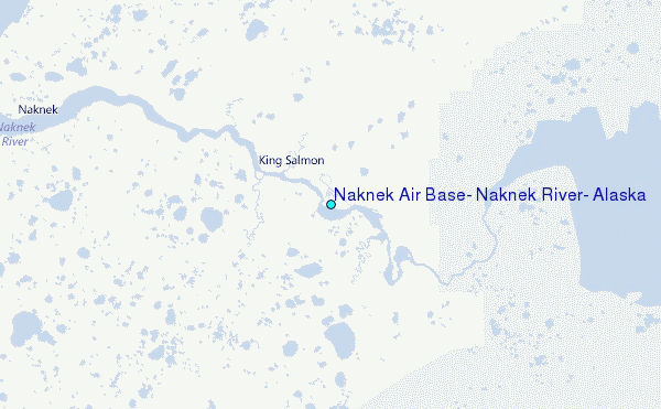
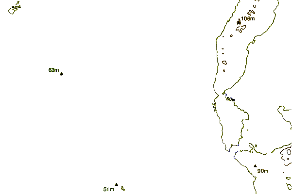
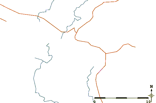
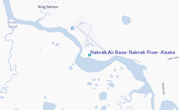
Choose Naknek Air Base, Naknek River, Alaska Location Map Zoom:
| Contours: | Roads & Rivers: | Select a
tide station / surf break / city |
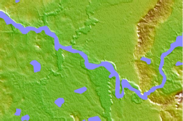
Use this relief map to navigate to tide stations, surf breaks and cities that are in the area of Naknek Air Base, Naknek River, Alaska.
Other Nearby Locations' tide tables and tide charts to Naknek Air Base, Naknek River, Alaska:
click location name for more details
 Surf breaks close to Naknek Air Base, Naknek River, Alaska:
|
||
|---|---|---|
| Closest surf break | Monashka Bay | 164 mi |
| Second closest surf break | Termination Point | 164 mi |
| Third closest surf break | Mill Bay | 167 mi |
| Fourth closest surf break | Fossil Beach Kodiak | 179 mi |
| Fifth closest surf break | Bird Point (Tidal Bore) | 232 mi |

 Nearest
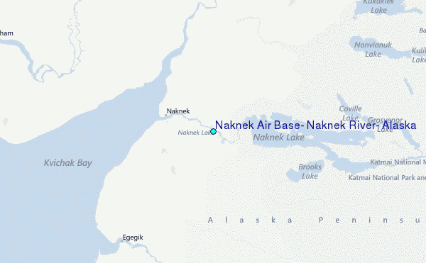