
| Distance / Altitude | Location | Report Date / Time | Live Weather | Wind | Gusts | Temp. | Visibility | Cloud |
|---|---|---|---|---|---|---|---|---|
| 27 km S / 218 m | Astoria Airport (Oregon) | 2024-04-19 10:55 local (2024/04/19 17:55 GMT) | Clear | moderate winds from the ENE (26 km/h at 70) | 17°C | 16 | ||
| 30 km SSW / 3 m | Clatsop Spit- OR (Marine) | 2024-04-19 11:56 local (2024/04/19 18:56 GMT) | - (- km/h at -) | — | - | |||
| 37 km NW / 3 m | BUOY-TOKW1 (Marine) | 2024-04-19 11:48 local (2024/04/19 18:48 GMT) | moderate winds from the E (26 km/h at 90) | 15°C | - | |||
| 61 km NW / 3 m | Grays Harbor- WA (Marine) | 2024-04-19 11:56 local (2024/04/19 18:56 GMT) | - (- km/h at -) | — | - | |||
| 61 km NW / 3 m | BUOY-WPTW1 (Marine) | 2024-04-19 11:36 local (2024/04/19 18:36 GMT) | fresh winds from the ENE (35 km/h at 70) | 15°C | - |
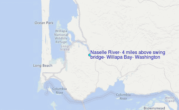
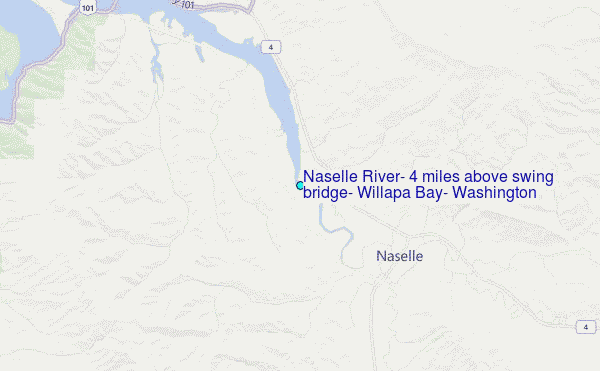
Choose Naselle River, 4 miles above swing bridge, Willapa Bay, Washington Location Map Zoom:
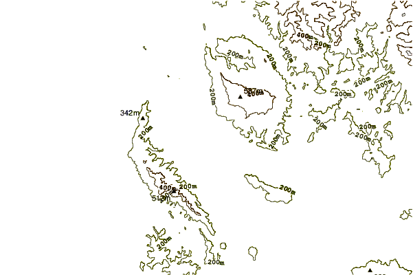
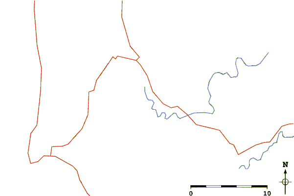
| Contours: | Roads & Rivers: | Select a
tide station / surf break / city |
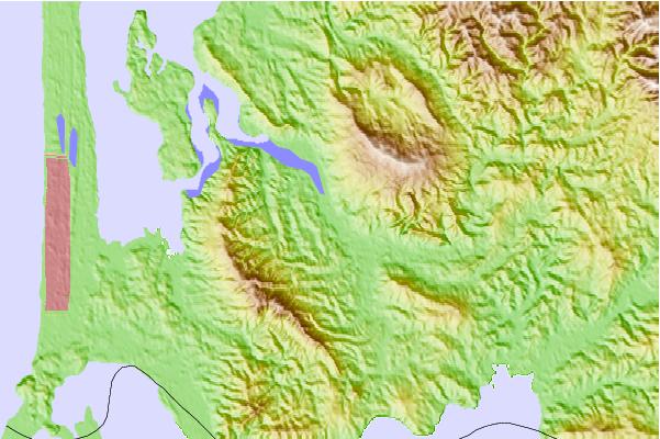
Use this relief map to navigate to tide stations, surf breaks and cities that are in the area of Naselle River, 4 miles above swing bridge, Willapa Bay, Washington.
Other Nearby Locations' tide tables and tide charts to Naselle River, 4 miles above swing bridge, Willapa Bay, Washington:
click location name for more details
 Surf breaks close to Naselle River, 4 miles above swing bridge, Willapa Bay, Washington:
|
||
|---|---|---|
| Closest surf break | Ocean Park | 12 mi |
| Second closest surf break | Turtles | 12 mi |
| Third closest surf break | Fort Canby A Jetty | 14 mi |
| Fourth closest surf break | Long Beach Peninsula | 16 mi |
| Fifth closest surf break | Seaside Cove | 29 mi |

 Nearest
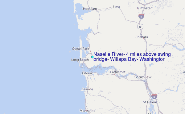