
| Distance / Altitude | Location | Report Date / Time | Live Weather | Wind | Gusts | Temp. | Visibility | Cloud |
|---|---|---|---|---|---|---|---|---|
| 185 km ENE / 11 m | Stefansson Island- NU (Canada) | 2026-06-09 10:00 local (2026/06/09 14:00 GMT) | no report | light winds from the SW (18 km/h at 230) | — | - | - | |
| 185 km ENE / 11 m | Stefansson Island Airport (Nunavut) | 2026-06-09 09:00 local (2026/06/09 13:00 GMT) | - | light winds from the ENE (6 km/h at 60) | -1°C | 0.0 | ||
| 295 km WSW / 42 m | Thomsen River- Nwt (Canada) | 2026-06-09 10:00 local (2026/06/09 14:00 GMT) | no report | wind obs. (25 kph from 260 degs) was rejected (- km/h at -) | 1°C | - | - | |
| 299 km NNE / 12 m | Rae Point (Nunavut) | 2026-06-09 09:00 local (2026/06/09 13:00 GMT) | - | light winds from the ENE (11 km/h at 70) | -5°C | 0.0 | ||
| 300 km NNE / 15 m | Rea Point- NU (Canada) | 2026-06-09 10:00 local (2026/06/09 14:00 GMT) | no report | wind obs. (14 kph from 160 degs) was rejected (- km/h at -) | 0°C | - | - | |
| 325 km W / 32 m | Aulavik National Park- Nwt (Canada) | 2026-06-09 10:00 local (2026/06/09 14:00 GMT) | no report | moderate winds from the W (22 km/h at 270) | 1°C | - | - | |
| 357 km SSW / 30 m | HolmanCs-Nwt (Canada) | 2026-06-09 10:00 local (2026/06/09 14:00 GMT) | no report | wind obs. (11 kph from 310 degs) was rejected (- km/h at -) | 4°C | - | - no observation - | |
| 357 km SSW / 258 m | Holman Island Airport (N.w. Territories) | 2026-06-09 10:00 local (2026/06/09 14:00 GMT) | Dry and cloudy | light winds from the W (11 km/h at 270) | 6°C | 24 | broken overcast | |
| 443 km ESE / 1 m | GatesheadIsland-NU (Canada) | 2026-06-09 08:00 local (2026/06/09 12:00 GMT) | - | wind obs. (20 kph from 220 degs) was rejected (- km/h at -) | 2°C | - | no observation | |
| 444 km NW / 2 m | Mould Bay Cs- Nwt (Canada) | 2026-06-09 10:00 local (2026/06/09 14:00 GMT) | - | wind obs. (14 kph from 320 degs) was rejected (- km/h at -) | — | - | - |
| Contours: | Roads & Rivers: | Select a
tide station / surf break / city |
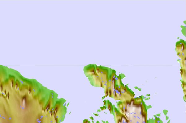
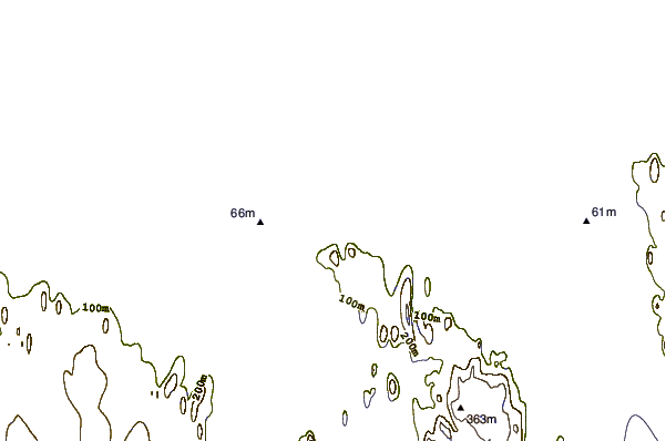
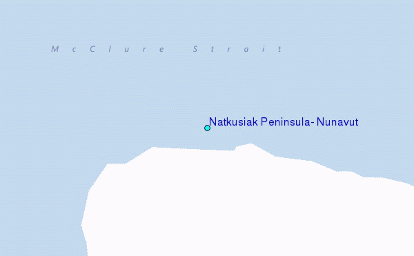
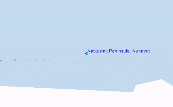
Use this relief map to navigate to tide stations, surf breaks and cities that are in the area of Natkusiak Peninsula, Nunavut.
Other Nearby Locations' tide tables and tide charts to Natkusiak Peninsula, Nunavut:
click location name for more details
 Surf breaks close to Natkusiak Peninsula, Nunavut:
|
||
|---|---|---|
| Closest surf break | Graveyards | 1213 mi |
| Second closest surf break | Ocean Cape | 1214 mi |
| Third closest surf break | Cannon Beach | 1215 mi |
| Fourth closest surf break | Bird Point (Tidal Bore) | 1356 mi |
| Fifth closest surf break | Tow Hill Beach | 1446 mi |


 Nearest
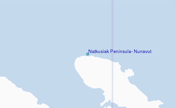