
| Distance / Altitude | Location | Report Date / Time | Live Weather | Wind | Gusts | Temp. | Visibility | Cloud |
|---|---|---|---|---|---|---|---|---|
| 13 km NE / 50 m | Awg-1 (Netherlands) | 2024-04-19 20:00 local (2024/04/19 18:00 GMT) | Dry and partly cloudy | near gales from the N (57 km/h at 350) | 8°C | 10.0 | few scattered broken | |
| 23 km S / 1 m | Leeuwarden Air Base Airport (Netherlands) | 2024-04-19 20:00 local (2024/04/19 18:00 GMT) | Dry and partly cloudy | fresh winds from the NNW.(Wind varies from 300 to 360 degs) (31 km/h at 340) | 7°C | 10.0 | few scattered - | |
| 26 km WNW / - m | SHIP7702 (ocean) | 2024-04-19 18:00 local (2024/04/19 16:00 GMT) | Squalls within sight but no precipitation falling at station | gales from the NNW (74 km/h at 340) | 8°C | 10 km | mostly cloudy | |
| 27 km SSW / 5 m | Harlingen (Netherlands) | 2024-04-19 20:36 local (2024/04/19 18:36 GMT) | dry | light winds from the NE (14 km/h at 37) | 7°C | - | - - 0 | |
| 27 km SSE / 2 m | Noordbergum (Netherlands) | 2024-04-19 20:23 local (2024/04/19 18:23 GMT) | dry | light winds from the N (14 km/h at 349) | 8°C | - | - - 0 |
| Contours: | Roads & Rivers: | Select a
tide station / surf break / city |
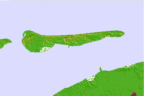

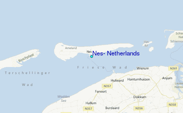
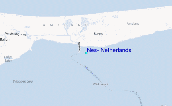
Use this relief map to navigate to tide stations, surf breaks and cities that are in the area of Nes, Netherlands.
Other Nearby Locations' tide tables and tide charts to Nes, Netherlands:
click location name for more details
 Surf breaks close to Nes, Netherlands:
|
||
|---|---|---|
| Closest surf break | Jugendbad | 39 mi |
| Second closest surf break | FKK Stand | 41 mi |
| Third closest surf break | Kogerstrand (De Koog) | 48 mi |
| Fourth closest surf break | Texel (Waddeneilanden) | 53 mi |
| Fifth closest surf break | Norderney | 62 mi |

 Nearest
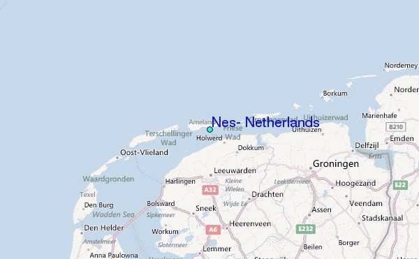