
| Distance / Altitude | Location | Report Date / Time | Live Weather | Wind | Gusts | Temp. | Visibility | Cloud |
|---|---|---|---|---|---|---|---|---|
| 2 km N / 20 m | Newport wx (United States) | 2024-04-24 04:12 local (2024/04/24 11:12 GMT) | dry | calm (2 km/h at 115) | 7°C | - | - - 0 | |
| 2 km S / 3 m | BUOY-NWPO3 (Marine) | 2024-04-24 04:00 local (2024/04/24 11:00 GMT) | calm (4 km/h at 80) | 8°C | - | |||
| 2 km N / 18 m | Newport wx (United States) | 2024-04-24 05:05 local (2024/04/24 12:05 GMT) | dry | calm (0 km/h at 0) | 8°C | - | - - 0 | |
| 4 km S / 30 m | Holiday Beach wx (United States) | 2024-04-24 04:30 local (2024/04/24 11:30 GMT) | dry | calm (0 km/h at ) | 7°C | - | - - 0 | |
| 7 km SSE / 219 m | Newport Airport (Oregon) | 2024-04-24 04:35 local (2024/04/24 11:35 GMT) | Dry and cloudy | calm (0 km/h at 0) | 6°C | 16 | overcast |
| Contours: | Roads & Rivers: | Select a
tide station / surf break / city |
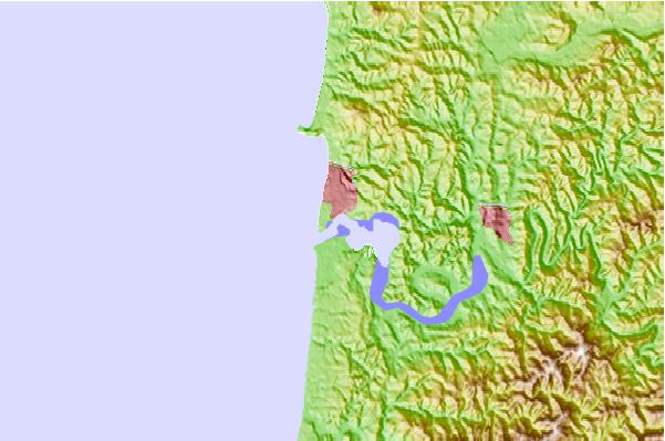
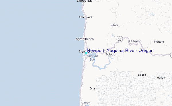
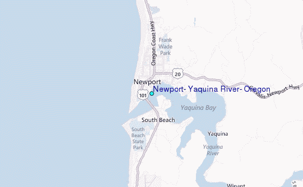
Use this relief map to navigate to tide stations, surf breaks and cities that are in the area of Newport, Yaquina River, Oregon.
Other Nearby Locations' tide tables and tide charts to Newport, Yaquina River, Oregon:
click location name for more details
 Surf breaks close to Newport, Yaquina River, Oregon:
|
||
|---|---|---|
| Closest surf break | Agate Beach | 1 mi |
| Second closest surf break | Newport-The Box | 1 mi |
| Third closest surf break | Newport-South Beach | 2 mi |
| Fourth closest surf break | Avalanche | 4 mi |
| Fifth closest surf break | North Agate | 4 mi |

 Nearest
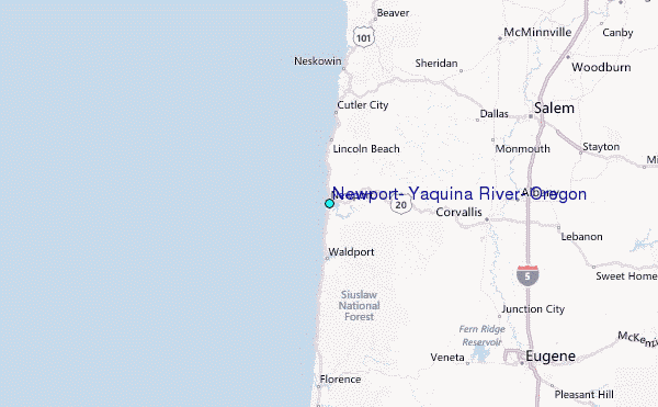