
| Distance / Altitude | Location | Report Date / Time | Live Weather | Wind | Gusts | Temp. | Visibility | Cloud |
|---|---|---|---|---|---|---|---|---|
| 120 km NW / 6 m | Sigatoka (Fiji) | 2026-06-09 18:07 local (2026/06/09 06:07 GMT) | dry | calm (0 km/h at ) | — | - | - - 0 | |
| 121 km NNE / 7 m | Nausori (Fiji) | 2026-06-09 18:00 local (2026/06/09 06:00 GMT) | no report | light winds from the SE (11 km/h at 130) | 25°C | 50 | - | |
| 121 km NNE / 106 m | Nausori International Airport (Fiji/tonga/tuvalu) | 2026-06-09 17:00 local (2026/06/09 05:00 GMT) | Dry and partly cloudy | light winds from the ESE (15 km/h at 120) | 24°C | 10.0 | broken scattered | |
| 121 km NNE / 106 m | Nausori International Airport (Fiji/tonga/tuvalu) | 2026-06-09 17:00 local (2026/06/09 05:00 GMT) | Dry and partly cloudy | light winds from the ESE (15 km/h at 120) | 24°C | 10.0 | broken scattered | |
| 132 km WNW / 8 m | Sigatoka (Fiji) | 2026-06-09 18:00 local (2026/06/09 06:00 GMT) | no report | light winds from the SE (7 km/h at 140) | 26°C | - | - | |
| 165 km E / 5 m | Matuku (Fiji) | 2026-06-09 18:00 local (2026/06/09 06:00 GMT) | no report | light winds from the SSE (15 km/h at 160) | 25°C | - | - | |
| 166 km NW / 31 m | Nadi (Fiji) | 2026-06-09 18:00 local (2026/06/09 06:00 GMT) | no report | calm (4 km/h at 140) | 26°C | - | - | |
| 167 km NW / 44 m | Nandi/Nadi International Airport (Fiji) | 2026-06-09 17:00 local (2026/06/09 05:00 GMT) | - | light winds from the SSE (19 km/h at 150) | 25°C | 10.0 | few | |
| 167 km NW / 24 m | Nadi Airport (Fiji) | 2026-06-09 18:00 local (2026/06/09 06:00 GMT) | no report | light winds from the SSE (19 km/h at 150) | 25°C | 10.0 | few - - | |
| 253 km NW / 6 m | Viwa (Fiji) | 2026-06-09 18:00 local (2026/06/09 06:00 GMT) | no report | wind obs. (0 kph from 150 degs) was rejected (- km/h at -) | 27°C | - | - |
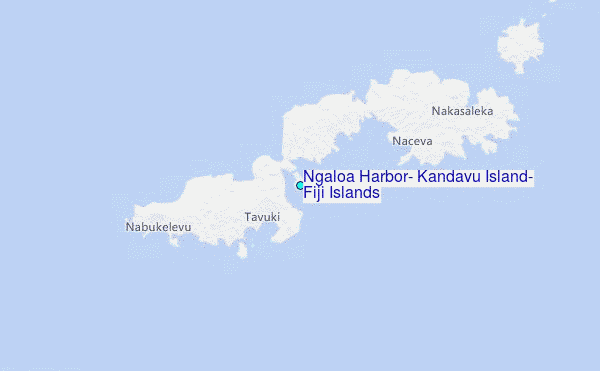
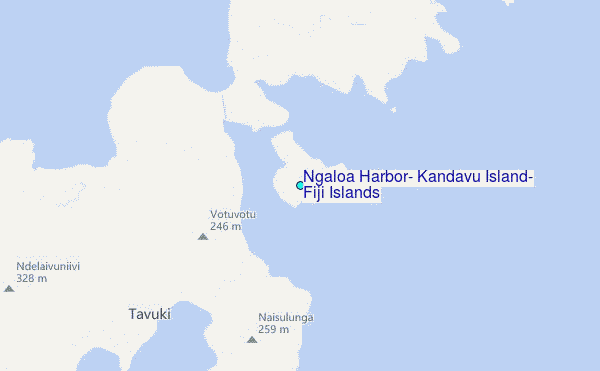
Choose Ngaloa Harbor, Kandavu Island, Fiji Islands Location Map Zoom:
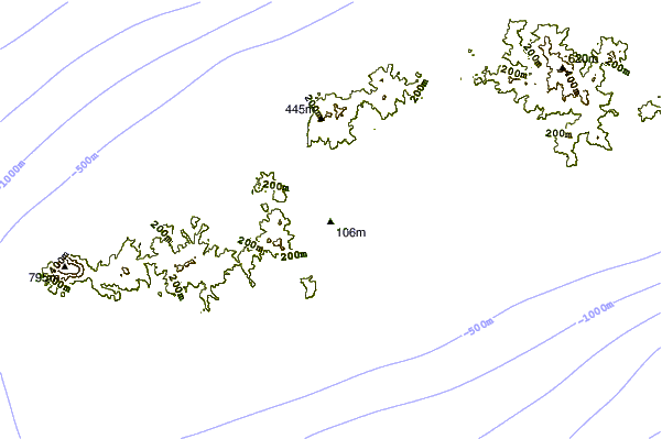
| Contours: | Roads & Rivers: | Select a
tide station / surf break / city |
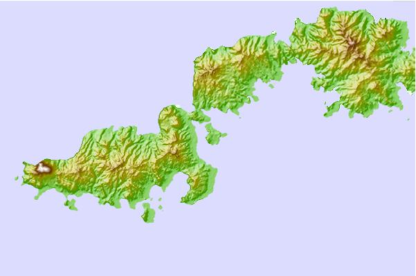
Use this relief map to navigate to tide stations, surf breaks and cities that are in the area of Ngaloa Harbor, Kandavu Island, Fiji Islands.
Other Nearby Locations' tide tables and tide charts to Ngaloa Harbor, Kandavu Island, Fiji Islands:
click location name for more details
 Surf breaks close to Ngaloa Harbor, Kandavu Island, Fiji Islands:
|
||
|---|---|---|
| Closest surf break | Daku | 13 mi |
| Second closest surf break | King Kong Right | 14 mi |
| Third closest surf break | King Kong Left | 15 mi |
| Fourth closest surf break | Vesi Passage | 18 mi |
| Fifth closest surf break | Typhoon Alley | 22 mi |


 Nearest
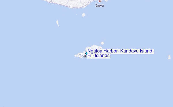