
| Distance / Altitude | Location | Report Date / Time | Live Weather | Wind | Gusts | Temp. | Visibility | Cloud |
|---|---|---|---|---|---|---|---|---|
| 8 km S / 15 m | SHIP12021 (Marine) | 2024-04-20 03:00 local (2024/04/20 00:00 GMT) | - (- km/h at -) | — | - km | |||
| 8 km NE / 49 m | Peristéri wx (Greece) | 2024-04-20 03:35 local (2024/04/20 00:35 GMT) | dry | calm (3 km/h at 287) | 13°C | - | - - 0 | |
| 8 km ESE / 105 m | Mpaknaná wx (Greece) | 2024-04-20 04:10 local (2024/04/20 01:10 GMT) | - | calm (3 km/h at 270) | 13°C | - | - - 0 | |
| 9 km E / 154 m | Syntagma wx (Greece) | 2024-04-20 04:34 local (2024/04/20 01:34 GMT) | - | - (- km/h at ) | 13°C | - | - - 0 | |
| 11 km E / 194 m | Kaisarianí wx (Greece) | 2024-04-20 04:35 local (2024/04/20 01:35 GMT) | dry | calm (3 km/h at 252) | 13°C | - | - - 0 |
| Contours: | Roads & Rivers: | Select a
tide station / surf break / city |
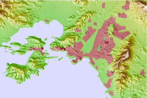
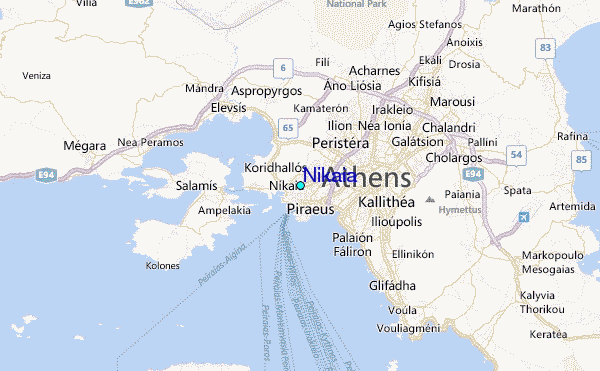
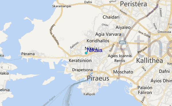
Use this relief map to navigate to tide stations, surf breaks and cities that are in the area of Nikaia.
Other Nearby Locations' tide tables and tide charts to Nikaia:
click location name for more details
 Surf breaks close to Nikaia:
|
||
|---|---|---|
| Closest surf break | Vouliagmeni | 13 mi |
| Second closest surf break | Vari | 14 mi |
| Third closest surf break | Agios Dimitros | 16 mi |
| Fourth closest surf break | Ulumitsu or Agios Dimitrios (Athens) | 16 mi |
| Fifth closest surf break | Hiliadou or Paradia Chiladou (Evia) | 51 mi |

 Nearest
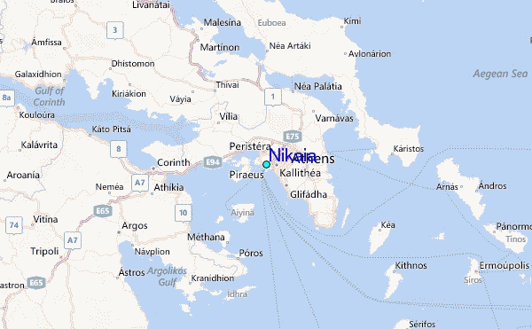