
| Distance / Altitude | Location | Report Date / Time | Live Weather | Wind | Gusts | Temp. | Visibility | Cloud |
|---|---|---|---|---|---|---|---|---|
| 400 km SE / 72 m | Cheung Chau (Peoples Republic of China) | 2026-06-09 15:00 local (2026/06/09 06:00 GMT) | no report | moderate winds from the SE (22 km/h at 140) | 30°C | - | - | |
| 400 km SE / 219 m | Cheung Chau ( 長洲) (Peoples Republic Of China) | 2026-06-09 16:00 local (2026/06/09 07:00 GMT) | - | wind obs. (14 kph from 340 degs) was rejected (- km/h at -) | 27°C | - | no observation | |
| 677 km SW / 15 m | SHIP6124 (Marine) | 2026-06-09 14:00 local (2026/06/09 05:00 GMT) | fresh winds from the S (37.080000000000005 km/h at 180) | 29°C | 17.7 km | |||
| 855 km WSW / 0 m | lightning (Japan) | 2026-06-09 16:35 local (2026/06/09 07:35 GMT) | Thunderstorm | (- km/h at -) | — | |||
| 1011 km WSW / 22 m | Kitadaito Island Airport (Japan) | 2026-06-09 15:00 local (2026/06/09 06:00 GMT) | Dry and partly cloudy | fresh winds from the SSW (31 km/h at 200) | 30°C | 10.0 | broken | |
| 678 km SW / 15 m | SHIP10965 (Marine) | 2026-06-09 14:00 local (2026/06/09 05:00 GMT) | fresh winds from the S (37.080000000000005 km/h at 180) | 29°C | 17.7 km | |||
| 678 km SW / 3 m | SHIP3771 (Marine) | 2026-06-09 14:00 local (2026/06/09 05:00 GMT) | fresh winds from the S (37 km/h at 180) | 30°C | 20.4 | |||
| 678 km SW / 15 m | SHIP5425 (Marine) | 2026-06-09 14:00 local (2026/06/09 05:00 GMT) | fresh winds from the S (37.080000000000005 km/h at 180) | 29°C | 17.7 km | |||
| 678 km SW / 3 m | SHIP5035 (Marine) | 2026-06-09 14:00 local (2026/06/09 05:00 GMT) | fresh winds from the S (37 km/h at 180) | 30°C | 20.4 | |||
| 678 km SW / 3 m | SHIP9612 (Marine) | 2026-06-09 14:00 local (2026/06/09 05:00 GMT) | fresh winds from the S (37 km/h at 180) | 30°C | 20.4 |
| Contours: | Roads & Rivers: | Select a
tide station / surf break / city |
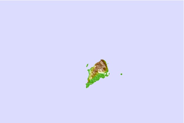
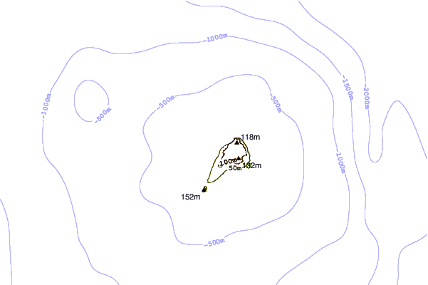
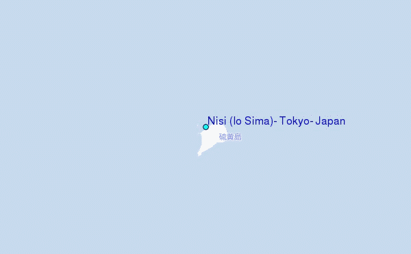
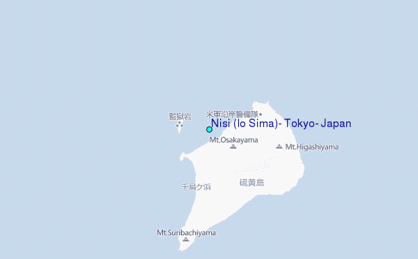
Use this relief map to navigate to tide stations, surf breaks and cities that are in the area of Nisi (Io Sima), Tokyo, Japan.
Other Nearby Locations' tide tables and tide charts to Nisi (Io Sima), Tokyo, Japan:
click location name for more details
 Surf breaks close to Nisi (Io Sima), Tokyo, Japan:
|
||
|---|---|---|
| Closest surf break | Tacos (Hachijojima Island) | 578 mi |
| Second closest surf break | Kaiser's (Hachijojima Island) | 579 mi |
| Third closest surf break | Santos (Hachijojima Island) | 579 mi |
| Fourth closest surf break | Niijima - Habushiura | 672 mi |
| Fifth closest surf break | Niijima - Awaii | 674 mi |


 Nearest
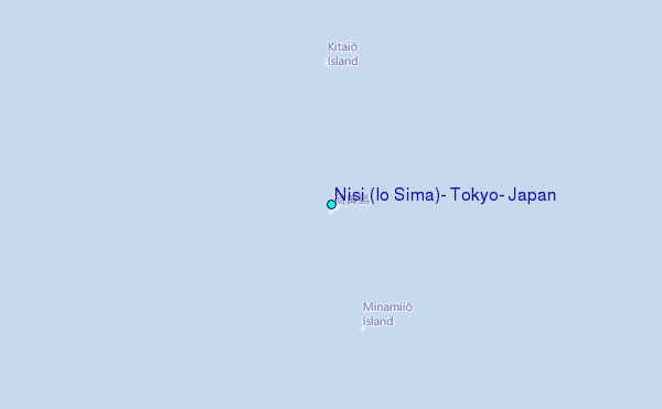