
| Distance / Altitude | Location | Report Date / Time | Live Weather | Wind | Gusts | Temp. | Visibility | Cloud |
|---|---|---|---|---|---|---|---|---|
| 4 km NNE / 3 m | SHIP5360 (Marine) | 2026-06-08 18:00 local (2026/06/09 02:00 GMT) | fresh winds from the ENE (30 km/h at 70) | 12°C | - | |||
| 26 km NNE / 3 m | BUOY-TKEA2 (Marine) | 2026-06-08 20:02 local (2026/06/09 04:02 GMT) | light winds from the E (13 km/h at 100) | 14°C | - | |||
| 35 km ESE / 3 m | BUOY-PCXA2 (Marine) | 2026-06-08 20:02 local (2026/06/09 04:02 GMT) | calm (5 km/h at 80) | 10°C | - | |||
| 4 km NNE / 3 m | SHIP5811 (Marine) | 2026-06-08 18:00 local (2026/06/09 02:00 GMT) | moderate winds from the E (26 km/h at 90) | 12°C | - | |||
| 4 km NNE / 15 m | SHIP7670 (Marine) | 2026-06-08 18:00 local (2026/06/09 02:00 GMT) | fresh winds from the ENE (29.52 km/h at 70) | — | - km | |||
| 15 km ESE / 15 m | SHIP7273 (Marine) | 2026-06-08 19:00 local (2026/06/09 03:00 GMT) | moderate winds from the ESE (24.12 km/h at 120) | — | - km | |||
| 15 km ESE / 3 m | SHIP6470 (Marine) | 2026-06-08 19:00 local (2026/06/09 03:00 GMT) | moderate winds from the ESE (24 km/h at 120) | 13°C | - | |||
| 20 km ESE / 15 m | SHIP4400 (Marine) | 2026-06-08 19:00 local (2026/06/09 03:00 GMT) | moderate winds from the E (22.32 km/h at 100) | — | - km | |||
| 26 km NNE / 3 m | BUOY-TKEA2 (Marine) | 2026-06-08 20:02 local (2026/06/09 04:02 GMT) | light winds from the E (13 km/h at 100) | 14°C | - | |||
| 32 km S / 3 m | SHIP6467 (Marine) | 2026-06-08 19:00 local (2026/06/09 03:00 GMT) | moderate winds from the NNW (21 km/h at 330) | 10°C | - |
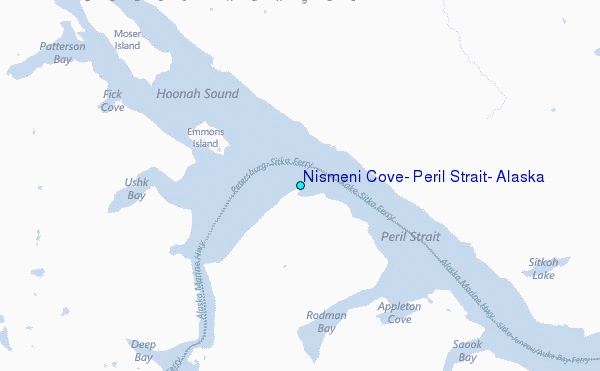
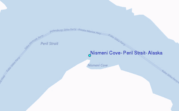
Choose Nismeni Cove, Peril Strait, Alaska Location Map Zoom:
| Contours: | Roads & Rivers: | Select a
tide station / surf break / city |
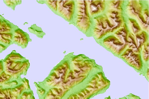
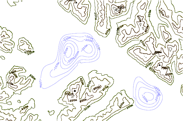
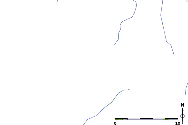
Use this relief map to navigate to tide stations, surf breaks and cities that are in the area of Nismeni Cove, Peril Strait, Alaska.
Other Nearby Locations' tide tables and tide charts to Nismeni Cove, Peril Strait, Alaska:
click location name for more details
 Surf breaks close to Nismeni Cove, Peril Strait, Alaska:
|
||
|---|---|---|
| Closest surf break | Cannon Beach | 206 mi |
| Second closest surf break | Graveyards | 209 mi |
| Third closest surf break | Ocean Cape | 211 mi |
| Fourth closest surf break | Lepus Beach (Haida-Gwaii) | 252 mi |
| Fifth closest surf break | Tow Hill Beach | 279 mi |


 Nearest
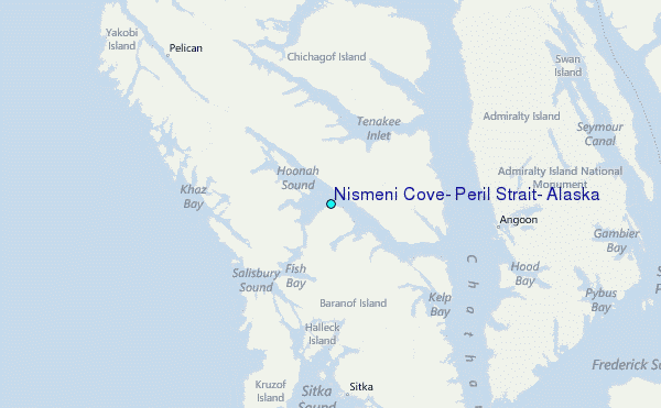