
| Distance / Altitude | Location | Report Date / Time | Live Weather | Wind | Gusts | Temp. | Visibility | Cloud |
|---|---|---|---|---|---|---|---|---|
| 4 km S / 189 m | Alofi Airport (Samoa/polynesia) | 2026-06-09 04:30 local (2026/06/09 15:30 GMT) | - | moderate winds from the SSE (20 km/h at 160) | 23°C | 10.0 | ||
| 5 km S / 22 m | NiueAirportAws (New Zealand) | 2026-06-09 05:00 local (2026/06/09 16:00 GMT) | Clear skies | light winds from the SSE (19 km/h at 160) | 23°C | 20 km | no observation | |
| 429 km WSW / 70 m | Lupepau u (Tonga) | 2026-06-09 05:00 local (2026/06/09 16:00 GMT) | no report | - (- km/h at -) | 26°C | 20 | - | |
| 473 km WSW / 3 m | Haapai Lifuka (Tonga) | 2026-06-09 05:00 local (2026/06/09 16:00 GMT) | no report | - (- km/h at -) | 26°C | 20 | - | |
| 473 km WSW / 3 m | Ha'apai Lifuka Island (Tonga) | 2026-06-09 05:00 local (2026/06/09 16:00 GMT) | no report | light winds from the SSE (13 km/h at 160) | 26°C | 20 | - few - | |
| 526 km N / 15 m | SHIP4520 (Marine) | 2026-06-09 03:00 local (2026/06/09 14:00 GMT) | fresh winds from the S (33.480000000000004 km/h at 180) | 29°C | - km | |||
| 526 km N / - m | SHIP982 (ocean) | 2026-06-09 03:00 local (2026/06/09 14:00 GMT) | No report | moderate winds from the S (26 km/h at 170) | 26°C | - | no observation | |
| 526 km N / 3 m | SHIP2695 (Marine) | 2026-06-09 03:00 local (2026/06/09 14:00 GMT) | fresh winds from the S (33 km/h at 180) | 26°C | - | |||
| 526 km N / 15 m | SHIP6487 (Marine) | 2026-06-09 03:00 local (2026/06/09 14:00 GMT) | fresh winds from the S (33.480000000000004 km/h at 180) | 29°C | - km | |||
| 526 km N / 3 m | SHIP3221 (Marine) | 2026-06-09 03:00 local (2026/06/09 14:00 GMT) | fresh winds from the S (33 km/h at 180) | 26°C | - |
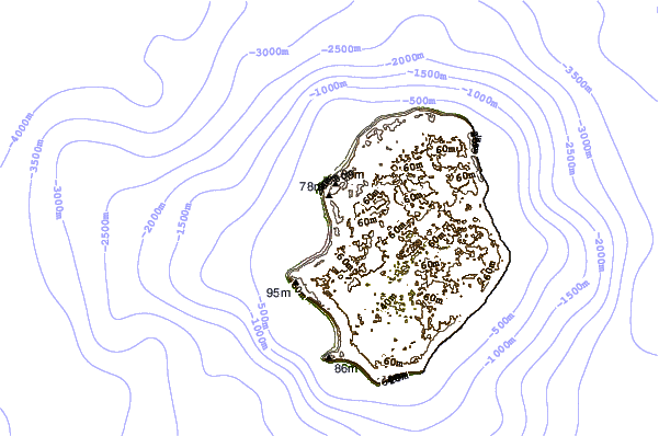
| Contours: | Roads & Rivers: | Select a
tide station / surf break / city |
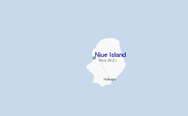
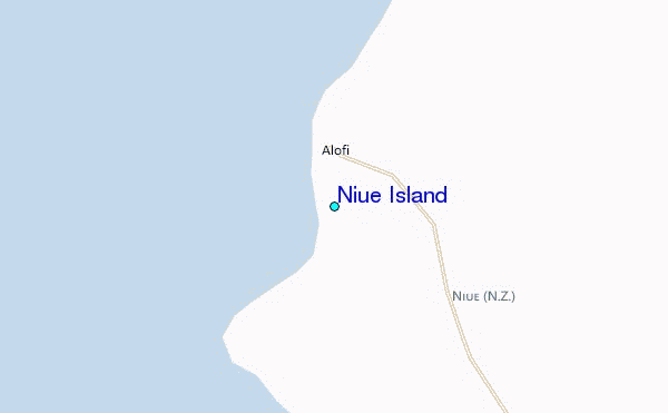
Use this relief map to navigate to tide stations, surf breaks and cities that are in the area of Niue Island.
Other Nearby Locations' tide tables and tide charts to Niue Island:
click location name for more details
 Surf breaks close to Niue Island:
|
||
|---|---|---|
| Closest surf break | Bowling left | 268 mi |
| Second closest surf break | Oh Right | 268 mi |
| Third closest surf break | Peaking | 268 mi |
| Fourth closest surf break | Taula left (The left over there) | 268 mi |
| Fifth closest surf break | Drive by right (Fonua one one) | 272 mi |


 Nearest