
| Distance / Altitude | Location | Report Date / Time | Live Weather | Wind | Gusts | Temp. | Visibility | Cloud |
|---|---|---|---|---|---|---|---|---|
| 53 km ENE / 216 m | Barking Sands/Kauai Airport (Hawaii) | 2026-06-09 06:51 local (2026/06/09 16:51 GMT) | Clear | wind obs. (6 kph from 60 degs) was rejected (- km/h at -) | 24°C | 16 | ||
| 83 km NE / 3 m | Hanalei- Kauai- HI (Marine) | 2026-06-09 07:56 local (2026/06/09 17:56 GMT) | - (- km/h at -) | — | - | |||
| 91 km ENE / 122 m | Wailua Homesteads wx (United States) | 2026-06-09 07:38 local (2026/06/09 17:38 GMT) | dry | calm (0 km/h at 0) | 22°C | - | - - 0 | |
| 92 km E / 3 m | BUOY-NWWH1 (Marine) | 2026-06-09 07:54 local (2026/06/09 17:54 GMT) | moderate winds from the ENE (21 km/h at 70) | — | - | |||
| 94 km E / 218 m | Lihue/Kauai Island Airport (Hawaii) | 2026-06-09 06:53 local (2026/06/09 16:53 GMT) | Dry and cloudy | moderate winds from the ENE (22 km/h at 60) | 24°C | 16 | few broken overcast | |
| 220 km E / 3 m | Waimea Bay- HI (Marine) | 2026-06-09 07:56 local (2026/06/09 17:56 GMT) | - (- km/h at -) | — | - | |||
| 224 km ESE / 3 m | Barbers Point Buoy- Kalaeloa (Marine) | 2026-06-09 08:00 local (2026/06/09 18:00 GMT) | - (- km/h at -) | 27°C | - | |||
| 227 km ESE / 15 m | SHIP3565 (Marine) | 2026-06-09 08:00 local (2026/06/09 18:00 GMT) | - (- km/h at -) | — | - km | |||
| 232 km ESE / 218 m | Kalaeloa Airport (Hawaii) | 2026-06-09 06:53 local (2026/06/09 16:53 GMT) | Clear | light winds from the NE (7 km/h at 40) | 23°C | 16 | ||
| 234 km E / 717 m | Wheeler Air Force Base/oahu Airport (Hawaii) | 2026-06-09 06:55 local (2026/06/09 16:55 GMT) | Dry and partly cloudy | calm (0 km/h at 0) | 21°C | 16 | broken |
| Contours: | Roads & Rivers: | Select a
tide station / surf break / city |
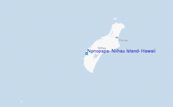
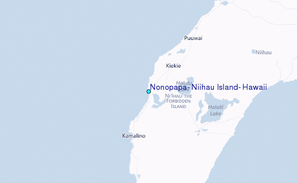
Use this relief map to navigate to tide stations, surf breaks and cities that are in the area of Nonopapa, Niihau Island, Hawaii.
Other Nearby Locations' tide tables and tide charts to Nonopapa, Niihau Island, Hawaii:
click location name for more details
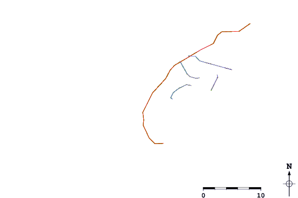
 Surf breaks close to Nonopapa, Niihau Island, Hawaii:
|
||
|---|---|---|
| Closest surf break | Majors Bay | 30 mi |
| Second closest surf break | Davidson Point | 34 mi |
| Third closest surf break | Polihale | 35 mi |
| Fourth closest surf break | Waimea Rivermouth | 37 mi |
| Fifth closest surf break | Infinities | 38 mi |


 Nearest
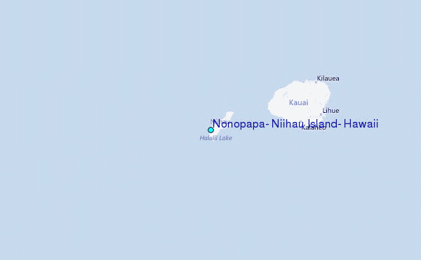