
| Distance / Altitude | Location | Report Date / Time | Live Weather | Wind | Gusts | Temp. | Visibility | Cloud |
|---|---|---|---|---|---|---|---|---|
| 134 km W / 244 m | Coen Airport (Australia) | 2024-04-19 14:00 local (2024/04/19 04:00 GMT) | - | light winds from the NE (17 km/h at 50) | 30°C | - | no observation | |
| 134 km W / 244 m | Coen Airport (Australia) | 2024-04-19 13:00 local (2024/04/19 03:00 GMT) | no report | light winds from the NE (17 km/h at 50) | 30°C | - | - scattered - | |
| 139 km ESE / 19 m | Cape Flattery (Australia) | 2024-04-19 14:00 local (2024/04/19 04:00 GMT) | no report | light winds from the S (11 km/h at 170) | 27°C | - | - no observation - | |
| 159 km SE / 6 m | Cooktown Airport (Australia) | 2024-04-19 14:00 local (2024/04/19 04:00 GMT) | no report | light winds from the SE (13 km/h at 130) | 27°C | - | - no observation - | |
| 175 km S / 240 m | Palmerville (Australia) | 2024-04-19 14:00 local (2024/04/19 04:00 GMT) | - | light winds from the ENE (11 km/h at 60) | 29°C | - | no observation |
| Contours: | Roads & Rivers: | Select a
tide station / surf break / city |
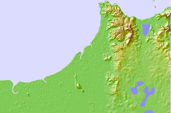
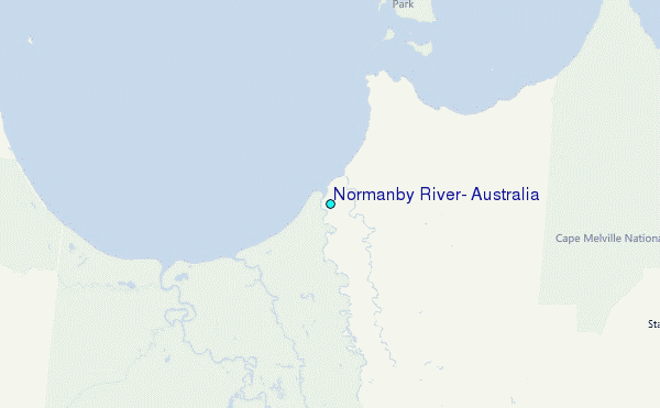
Use this relief map to navigate to tide stations, surf breaks and cities that are in the area of Normanby River, Australia.
Other Nearby Locations' tide tables and tide charts to Normanby River, Australia:
click location name for more details
 Surf breaks close to Normanby River, Australia:
|
||
|---|---|---|
| Closest surf break | Eimeo Point | 564 mi |
| Second closest surf break | Dolphin Heads | 565 mi |
| Third closest surf break | Lamberts Beach | 569 mi |
| Fourth closest surf break | North Wall Mackay Harbour Beach | 570 mi |
| Fifth closest surf break | South Wall Mackay Harbour | 571 mi |

 Nearest
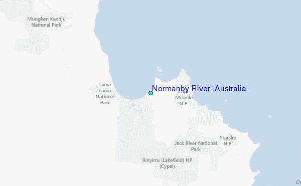