
| Distance / Altitude | Location | Report Date / Time | Live Weather | Wind | Gusts | Temp. | Visibility | Cloud |
|---|---|---|---|---|---|---|---|---|
| 6 km N / 68 m | RockyHarbour-Nfld (Canada) | 2024-04-25 09:30 local (2024/04/25 12:00 GMT) | - | light winds from the S (6 km/h at 180) | 4°C | - | no observation | |
| 6 km NW / 216 m | Rocky Harbour Airport (Newfoundland) | 2024-04-25 08:30 local (2024/04/25 11:00 GMT) | - | light winds from the SSW (6 km/h at 210) | 4°C | 0.0 | - - - | |
| 47 km SE / 22 m | Deer Lake Airport (Canada) | 2024-04-25 09:30 local (2024/04/25 12:00 GMT) | State of sky unchanged | moderate winds from the SW (24 km/h at 230) | 5°C | 44 km | - mostly cloudy - | |
| 48 km SE / 217 m | Deer Lake Airport (Newfoundland) | 2024-04-25 08:30 local (2024/04/25 11:00 GMT) | Dry and partly cloudy | moderate winds from the SW (20 km/h at 230) | 5°C | 24 | scattered broken | |
| 56 km SSW / 3 m | SHIP1371 (Marine) | 2024-04-25 07:30 local (2024/04/25 10:00 GMT) | fresh winds from the SW (30 km/h at 220) | 3°C | - |
| Contours: | Roads & Rivers: | Select a
tide station / surf break / city |
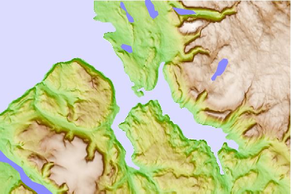
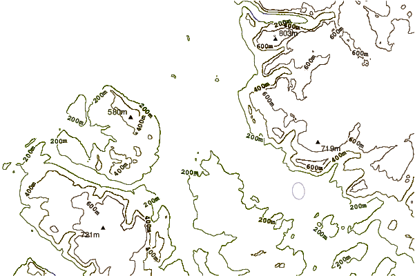
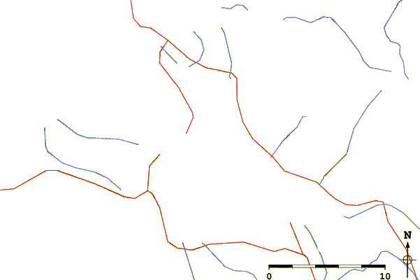
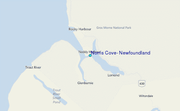
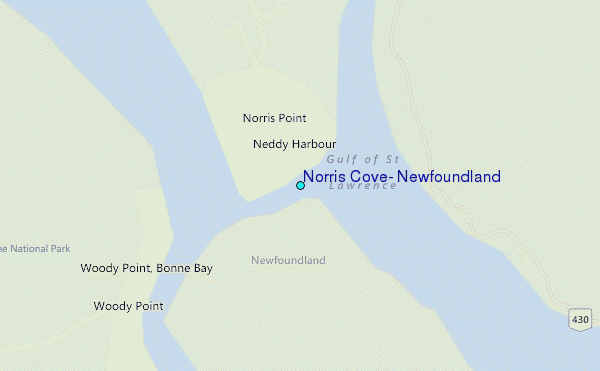
Use this relief map to navigate to tide stations, surf breaks and cities that are in the area of Norris Cove, Newfoundland.
Other Nearby Locations' tide tables and tide charts to Norris Cove, Newfoundland:
click location name for more details
 Surf breaks close to Norris Cove, Newfoundland:
|
||
|---|---|---|
| Closest surf break | Ingonish Beach | 231 mi |
| Second closest surf break | Kennington Cove | 272 mi |
| Third closest surf break | Michaud Point | 303 mi |
| Fourth closest surf break | Martinique | 416 mi |
| Fifth closest surf break | Lawrencetown Left Point | 424 mi |

 Nearest
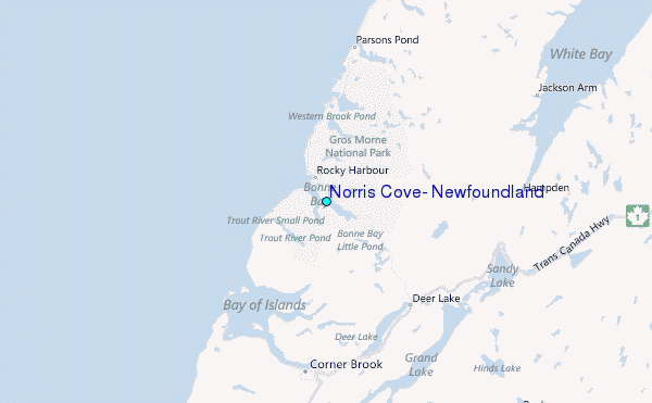