
| Distance / Altitude | Location | Report Date / Time | Live Weather | Wind | Gusts | Temp. | Visibility | Cloud |
|---|---|---|---|---|---|---|---|---|
| 31 km S / 3 m | BUOY-SAXG1 (Marine) | 2026-06-09 00:00 local (2026/06/09 04:00 GMT) | - (0 km/h at -) | 23°C | - | |||
| 37 km N / 217 m | Savannah/Hunter Army Airfield Airport (Georgia) | 2026-06-08 22:55 local (2026/06/09 02:55 GMT) | Clear | calm (0 km/h at 0) | 25°C | 16 | ||
| 41 km W / 214 m | Fort Stewart/Wright Army Airfield Airport (Georgia) | 2026-06-08 22:55 local (2026/06/09 02:55 GMT) | Clear | calm (0 km/h at 0) | 24°C | 16 | ||
| 42 km SE / - m | SHIP1849 (ocean) | 2026-06-09 00:00 local (2026/06/09 04:00 GMT) | - | light winds from the SSE (11 km/h at 150) | 26°C | - | no observation | |
| 44 km SE / 3 m | Grays Reef Buoy (Marine) | 2026-06-09 00:20 local (2026/06/09 04:20 GMT) | light winds from the SE (11 km/h at 130) | 26°C | - | |||
| 42 km SE / - m | SHIP1083 (ocean) | 2026-06-08 23:00 local (2026/06/09 03:00 GMT) | - | light winds from the SE (11 km/h at 140) | 26°C | - | no observation | |
| 42 km SE / - m | SHIP1801 (ocean) | 2026-06-08 23:00 local (2026/06/09 03:00 GMT) | - | light winds from the SE (11 km/h at 140) | 26°C | - | no observation | |
| 42 km SE / - m | SHIP1625 (ocean) | 2026-06-09 00:00 local (2026/06/09 04:00 GMT) | - | light winds from the SSE (11 km/h at 150) | 26°C | - | no observation | |
| 42 km SE / - m | SHIP1181 (ocean) | 2026-06-08 23:00 local (2026/06/09 03:00 GMT) | - | light winds from the SSE (11 km/h at 150) | 26°C | - | no observation | |
| 42 km SE / - m | SHIP1447 (ocean) | 2026-06-09 00:00 local (2026/06/09 04:00 GMT) | - | light winds from the SE (11 km/h at 140) | 26°C | - | no observation |
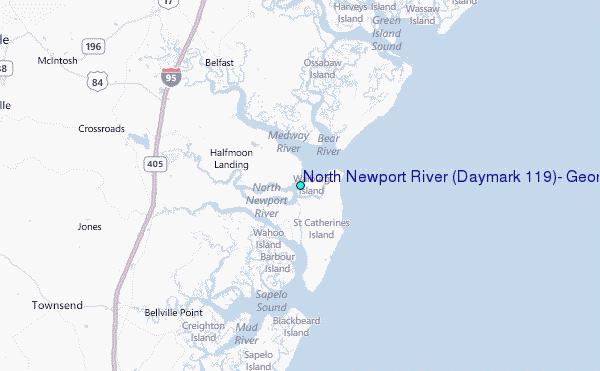
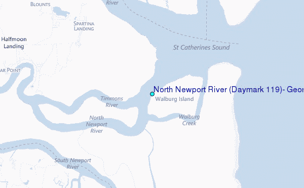
Choose North Newport River (Daymark #119), Georgia Location Map Zoom:
| Contours: | Roads & Rivers: | Select a
tide station / surf break / city |
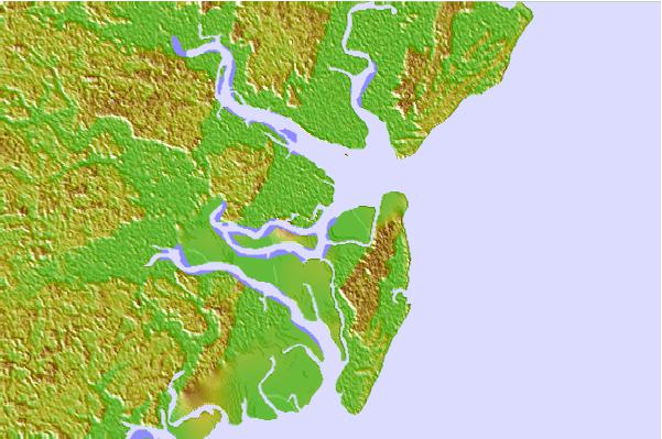

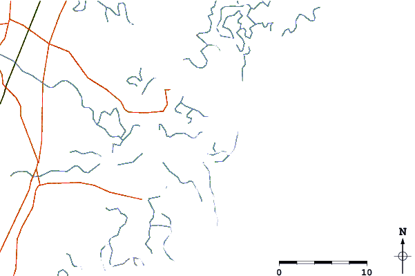
Use this relief map to navigate to tide stations, surf breaks and cities that are in the area of North Newport River (Daymark #119), Georgia.
Other Nearby Locations' tide tables and tide charts to North Newport River (Daymark #119), Georgia:
click location name for more details
 Surf breaks close to North Newport River (Daymark #119), Georgia:
|
||
|---|---|---|
| Closest surf break | 17th Street Boardwalk | 29 mi |
| Second closest surf break | Tybee South End Sand Bar | 29 mi |
| Third closest surf break | 2nd Street | 30 mi |
| Fourth closest surf break | Tybee Pier | 30 mi |
| Fifth closest surf break | North Jetty | 31 mi |


 Nearest
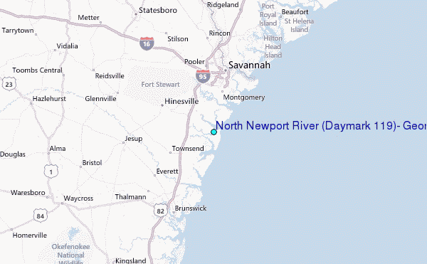