
| Distance / Altitude | Location | Report Date / Time | Live Weather | Wind | Gusts | Temp. | Visibility | Cloud |
|---|---|---|---|---|---|---|---|---|
| 140 km E / 15 m | SHIP3978 (Marine) | 2026-06-09 15:00 local (2026/06/09 19:00 GMT) | moderate winds from the NE (27.720000000000002 km/h at 50) | 30°C | 17.7 km | |||
| 165 km S / 1 m | lightning 6km N of Puerto Padre (Cuba) | 2026-06-09 16:16 local (2026/06/09 20:16 GMT) | Thunderstorm | (- km/h at -) | — | |||
| 169 km SSW / 1 m | lightning 7km S of Manati (Cuba) | 2026-06-09 16:15 local (2026/06/09 20:15 GMT) | Thunderstorm | (- km/h at -) | — | |||
| 184 km S / 4 m | lightning 11km SSW of Banes (Cuba) | 2026-06-09 14:45 local (2026/06/09 18:45 GMT) | Thunderstorm | (- km/h at -) | — | |||
| 190 km S / 97 m | lightning 23km WSW of Jobabo (Cuba) | 2026-06-09 15:33 local (2026/06/09 19:33 GMT) | Thunderstorm | (- km/h at -) | — | |||
| 140 km E / 3 m | SHIP8667 (Marine) | 2026-06-09 15:00 local (2026/06/09 19:00 GMT) | moderate winds from the NE (28 km/h at 50) | 30°C | 20.4 | |||
| 153 km SSE / 3 m | SHIP8672 (Marine) | 2026-06-09 15:00 local (2026/06/09 19:00 GMT) | - (- km/h at -) | 29°C | - | |||
| 153 km SSE / 3 m | SHIP5831 (Marine) | 2026-06-09 15:00 local (2026/06/09 19:00 GMT) | - (- km/h at -) | 29°C | - | |||
| 153 km SSE / 3 m | SHIP1994 (Marine) | 2026-06-09 15:00 local (2026/06/09 19:00 GMT) | - (- km/h at -) | 29°C | - | |||
| 153 km SSE / 15 m | SHIP7382 (Marine) | 2026-06-09 15:00 local (2026/06/09 19:00 GMT) | - (- km/h at -) | — | - km |
| Contours: | Roads & Rivers: | Select a
tide station / surf break / city |
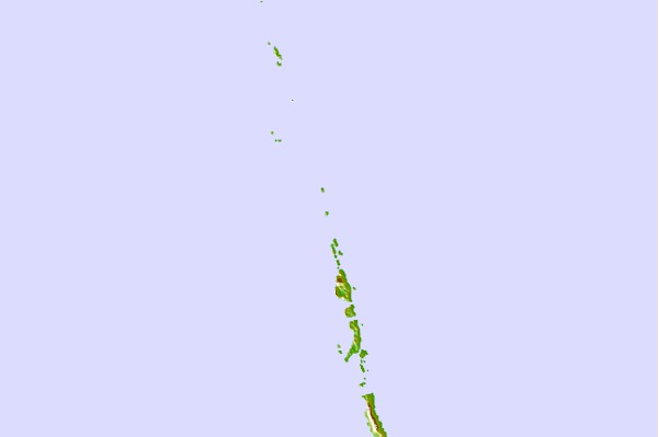
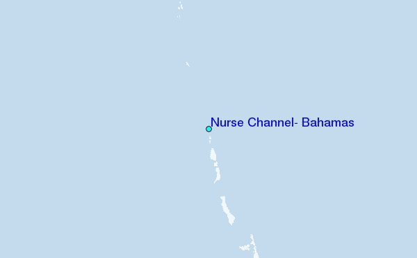
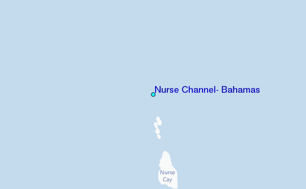
Use this relief map to navigate to tide stations, surf breaks and cities that are in the area of Nurse Channel, Bahamas.
Other Nearby Locations' tide tables and tide charts to Nurse Channel, Bahamas:
click location name for more details
 Surf breaks close to Nurse Channel, Bahamas:
|
||
|---|---|---|
| Closest surf break | Rock Sound | 164 mi |
| Second closest surf break | North Palmetto Point | 183 mi |
| Third closest surf break | James Point | 198 mi |
| Fourth closest surf break | Hidden Beach | 198 mi |
| Fifth closest surf break | The Dump | 200 mi |


 Nearest
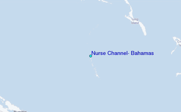