
| Distance / Altitude | Location | Report Date / Time | Live Weather | Wind | Gusts | Temp. | Visibility | Cloud |
|---|---|---|---|---|---|---|---|---|
| 131 km E / 3 m | SHIP8804 (Marine) | 2026-06-09 00:00 local (2026/06/09 04:00 GMT) | light winds from the E (13 km/h at 80) | 28°C | 9.3 | |||
| 200 km S / 208 m | Holguin Airport (Cuba) | 2026-06-08 23:50 local (2026/06/09 03:50 GMT) | - | light winds from the ENE (7 km/h at 70) | 23°C | 8.0 | few | |
| 201 km NW / 12 m | Over Yonder Cay (Bahamas) | 2026-06-09 00:23 local (2026/06/09 04:23 GMT) | dry | calm (2 km/h at 82) | 27°C | - | - - 0 | |
| 218 km NE / 5 m | Cockburn Town/San Salvador Airport (Bahamas) | 2026-06-09 00:00 local (2026/06/09 04:00 GMT) | - | light winds from the ENE (9 km/h at 60) | — | 0.0 | ||
| 240 km SW / 212 m | Camaguey/Ignacio Agramonte Internationa Airport (Cuba) | 2026-06-08 23:50 local (2026/06/09 03:50 GMT) | Dry and partly cloudy | light winds from the ENE (7 km/h at 70) | 23°C | 9.0 | no significant cloud | |
| 200 km S / 208 m | Holguin Airport (Cuba) | 2026-06-08 23:50 local (2026/06/09 03:50 GMT) | - | light winds from the ENE (7 km/h at 70) | 23°C | 8.0 | few | |
| 218 km NE / 5 m | Cockburn Town/San Salvador Airport (Bahamas) | 2026-06-09 00:00 local (2026/06/09 04:00 GMT) | - | light winds from the ENE (9 km/h at 60) | — | 0.0 | ||
| 240 km SW / 212 m | Camaguey/Ignacio Agramonte Internationa Airport (Cuba) | 2026-06-08 23:50 local (2026/06/09 03:50 GMT) | Dry and partly cloudy | light winds from the ENE (7 km/h at 70) | 23°C | 9.0 | no significant cloud | |
| 282 km S / 209 m | Santiago De Cuba Airport (Cuba) | 2026-06-08 23:50 local (2026/06/09 03:50 GMT) | - | calm (4 km/h at 50) | — | 0.0 | ||
| 298 km N / 15 m | SHIP9017 (Marine) | 2026-06-09 01:00 local (2026/06/09 05:00 GMT) | - (- km/h at -) | — | - km |
| Contours: | Roads & Rivers: | Select a
tide station / surf break / city |
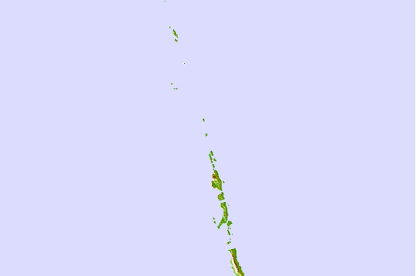
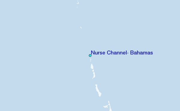
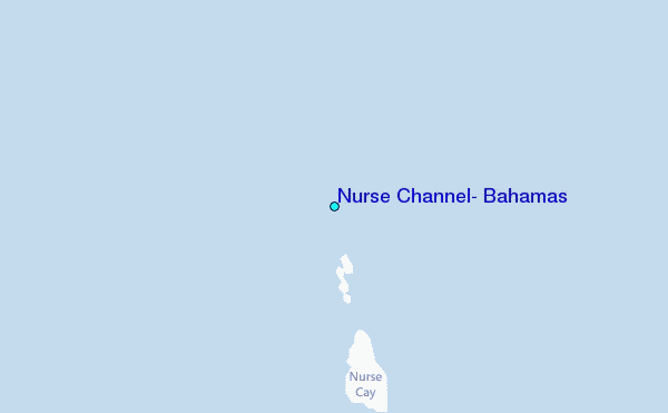
Use this relief map to navigate to tide stations, surf breaks and cities that are in the area of Nurse Channel, Bahamas.
Other Nearby Locations' tide tables and tide charts to Nurse Channel, Bahamas:
click location name for more details
 Surf breaks close to Nurse Channel, Bahamas:
|
||
|---|---|---|
| Closest surf break | Rock Sound | 164 mi |
| Second closest surf break | North Palmetto Point | 183 mi |
| Third closest surf break | James Point | 198 mi |
| Fourth closest surf break | Hidden Beach | 198 mi |
| Fifth closest surf break | The Dump | 200 mi |


 Nearest
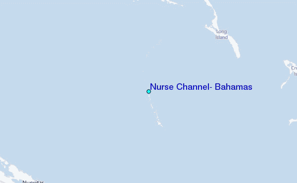