
| Distance / Altitude | Location | Report Date / Time | Live Weather | Wind | Gusts | Temp. | Visibility | Cloud |
|---|---|---|---|---|---|---|---|---|
| 7 km ENE / 217 m | Southport Airport (North Carolina) | 2024-04-23 06:30 local (2024/04/23 10:30 GMT) | Clear | light winds from the NNW (7 km/h at 330) | 4°C | 16 | ||
| 25 km SSE / 3 m | Wilmington Harbor- NC (Marine) | 2024-04-23 07:00 local (2024/04/23 11:00 GMT) | - (- km/h at -) | 14°C | - | |||
| 31 km SW / 3 m | BUOY-41024 (Marine) | 2024-04-23 07:08 local (2024/04/23 11:08 GMT) | light winds from the NW (14 km/h at 320) | 11°C | - | |||
| 31 km SW / 3 m | Sunset Beach Nearshore Buoy (Marine) | 2024-04-23 06:55 local (2024/04/23 10:55 GMT) | - (- km/h at -) | — | - | |||
| 33 km NE / 3 m | BUOY-MBIN7 (Marine) | 2024-04-23 07:00 local (2024/04/23 11:00 GMT) | light winds from the NNW (9 km/h at 340) | 8°C | - |
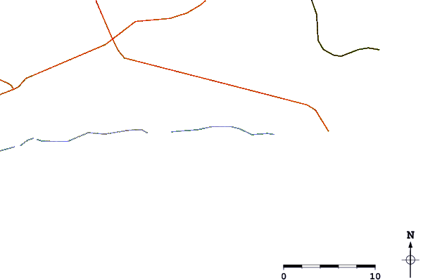
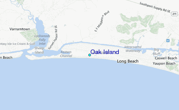
| Contours: | Roads & Rivers: | Select a
tide station / surf break / city |
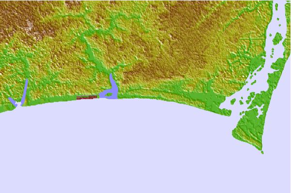

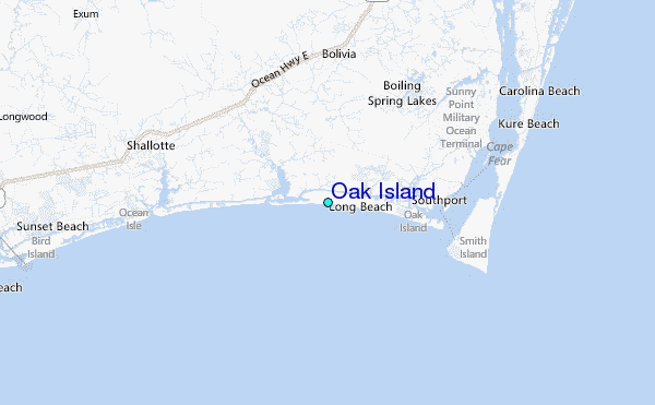
Use this relief map to navigate to tide stations, surf breaks and cities that are in the area of Oak Island.
Other Nearby Locations' tide tables and tide charts to Oak Island:
click location name for more details
 Surf breaks close to Oak Island:
|
||
|---|---|---|
| Closest surf break | Holden Beach | 1 mi |
| Second closest surf break | Long Beach | 4 mi |
| Third closest surf break | Ocean Isle Beach/pier | 9 mi |
| Fourth closest surf break | Fort Fisher | 12 mi |
| Fifth closest surf break | Shit Pipe | 16 mi |

 Nearest
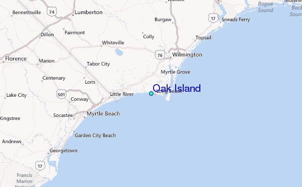