
| Distance / Altitude | Location | Report Date / Time | Live Weather | Wind | Gusts | Temp. | Visibility | Cloud |
|---|---|---|---|---|---|---|---|---|
| 42 km SE / 4 m | Akita (Japan) | 2024-04-25 02:00 local (2024/04/24 17:00 GMT) | Continuous light rain | light winds from the SE (9 km/h at 140) | 14°C | 31 km | - no observation - | |
| 82 km NNE / 67 m | Fukaura (Japan) | 2024-04-25 02:00 local (2024/04/24 17:00 GMT) | Continuous light rain | light winds from the S (19 km/h at 190) | 14°C | 40 km | no observation | |
| 99 km WNW / 15 m | SHIP8444 (Marine) | 2024-04-25 02:00 local (2024/04/24 17:00 GMT) | - (- km/h at -) | — | - km | |||
| 116 km S / 4 m | Sakata (Japan) | 2024-04-25 02:00 local (2024/04/24 17:00 GMT) | Continuous light rain | light winds from the W (6 km/h at 270) | 13°C | 27 km | no observation | |
| 126 km NNE / 2 m | Kanagichō-sawabe wx (Japan) | 2024-04-25 02:29 local (2024/04/24 17:29 GMT) | dry | light winds from the ESE (6 km/h at 114) | 13°C | - | - - 0 |
| Contours: | Roads & Rivers: | Select a
tide station / surf break / city |
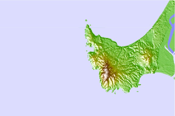
Use this relief map to navigate to tide stations, surf breaks and cities that are in the area of Oga, Akita, Japan.
Other Nearby Locations' tide tables and tide charts to Oga, Akita, Japan:
click location name for more details
 Surf breaks close to Oga, Akita, Japan:
|
||
|---|---|---|
| Closest surf break | Choshi | 298 mi |
| Second closest surf break | Katagai | 307 mi |
| Third closest surf break | Torami | 316 mi |
| Fourth closest surf break | Chigasaki Jetty | 319 mi |
| Fifth closest surf break | Kugenuma Rivermouth | 319 mi |

 Nearest