
| Distance / Altitude | Location | Report Date / Time | Live Weather | Wind | Gusts | Temp. | Visibility | Cloud |
|---|---|---|---|---|---|---|---|---|
| 13 km WNW / 306 m | Port Harcourt Airport (Nigeria) | 2024-04-25 22:00 local (2024/04/25 21:00 GMT) | Thunderstorm - | calm (0 km/h at 0) | 26°C | 7.0 | scattered few - | |
| 78 km N / 114 m | Sam Mbakwe International Cargo Airport (Nigeria) | 2024-04-25 22:00 local (2024/04/25 21:00 GMT) | Dry and partly cloudy | calm (0 km/h at 0) | 28°C | 10.0 | broken | |
| 197 km NNE / 84 m | Enugu Airport (Nigeria) | 2024-04-25 22:00 local (2024/04/25 21:00 GMT) | - | light winds from the SW (19 km/h at 220) | 32°C | 30 km | mostly cloudy | |
| 197 km NNE / 134 m | Enugu (Nigeria) | 2024-04-25 22:00 local (2024/04/25 21:00 GMT) | Dry and partly cloudy | light winds from the SW (19 km/h at 220) | 32°C | 10.0 | scattered | |
| 217 km ESE / 56 m | Malabo/Fernando Poo Airport (Equatorial Guinea) | 2024-04-25 22:00 local (2024/04/25 21:00 GMT) | no report | light winds from the SW (15 km/h at 220) | 29°C | 30 km | - scattered - |
| Contours: | Roads & Rivers: | Select a
tide station / surf break / city |
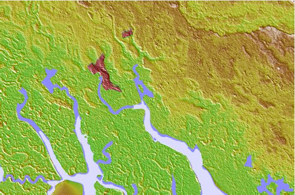
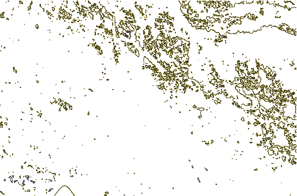
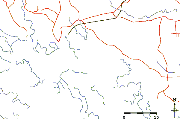
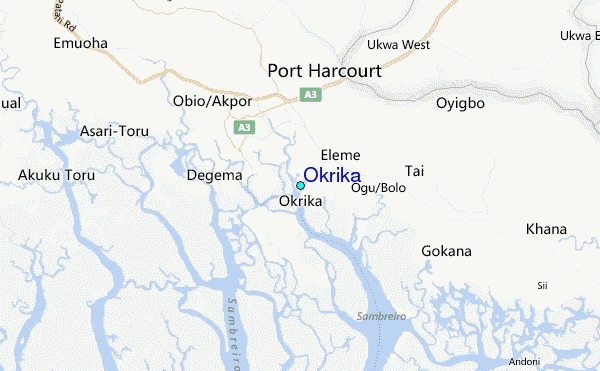
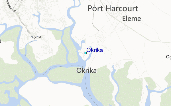
Use this relief map to navigate to tide stations, surf breaks and cities that are in the area of Okrika.
Other Nearby Locations' tide tables and tide charts to Okrika:
click location name for more details
 Surf breaks close to Okrika:
|
||
|---|---|---|
| Closest surf break | Seme Beach Limbe | 150 mi |
| Second closest surf break | Kribi | 231 mi |
| Third closest surf break | Lighthouse Beach | 278 mi |
| Fourth closest surf break | Tarqua Bay | 278 mi |
| Fifth closest surf break | Shipwreck | 295 mi |

 Nearest
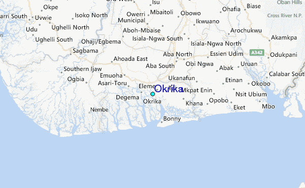