
| Distance / Altitude | Location | Report Date / Time | Live Weather | Wind | Gusts | Temp. | Visibility | Cloud |
|---|---|---|---|---|---|---|---|---|
| 8 km SSE / 86 m | Kaitaia Airport (New Zealand) | 2026-06-09 17:00 local (2026/06/09 05:00 GMT) | Clear skies | light winds from the SSW (19 km/h at 200) | 14°C | 10 km | - no observation - | |
| 15 km NE / 18 m | Tokerau Beach wx (New Zealand) | 2026-06-09 17:40 local (2026/06/09 05:40 GMT) | dry | calm (5 km/h at 217) | 13°C | - | - - 0 | |
| 65 km ESE / 151 m | Kerikeri Aero Automatic Weather Station (New Zealand) | 2026-06-09 17:00 local (2026/06/09 05:00 GMT) | Clear skies | moderate winds from the S (24 km/h at 190) | 14°C | 10 km | no observation | |
| 83 km WNW / 212 m | CapeReingaAws (New Zealand) | 2026-06-09 17:00 local (2026/06/09 05:00 GMT) | - | strong winds from the S (46 km/h at 190) | 14°C | - | - no observation - | |
| 131 km SE / 38 m | Whangarei Aero Automatic Weather Station (New Zealand) | 2026-06-09 17:00 local (2026/06/09 05:00 GMT) | Clear skies | moderate winds from the SSW (20 km/h at 200) | 15°C | 10 km | no observation | |
| 131 km SE / 38 m | Whangarei Aerodrome (New Zealand) | 2026-06-09 17:00 local (2026/06/09 05:00 GMT) | Clear skies | moderate winds from the SSW (20 km/h at 200) | 15°C | 10 km | - no observation - | |
| 178 km SE / 15 m | SHIP6761 (Marine) | 2026-06-09 16:00 local (2026/06/09 04:00 GMT) | - (- km/h at -) | — | - km | |||
| 178 km SE / 15 m | SHIP9490 (Marine) | 2026-06-09 16:00 local (2026/06/09 04:00 GMT) | - (- km/h at -) | — | - km | |||
| 178 km SE / 3 m | SHIP4589 (Marine) | 2026-06-09 16:00 local (2026/06/09 04:00 GMT) | - (- km/h at -) | 17°C | - | |||
| 195 km ESE / 70 m | MokohinauIslandAws (New Zealand) | 2026-06-09 17:00 local (2026/06/09 05:00 GMT) | - | strong winds from the SSW (48 km/h at 210) | 16°C | - | - no observation - |
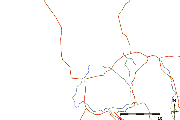
| Contours: | Roads & Rivers: | Select a
tide station / surf break / city |
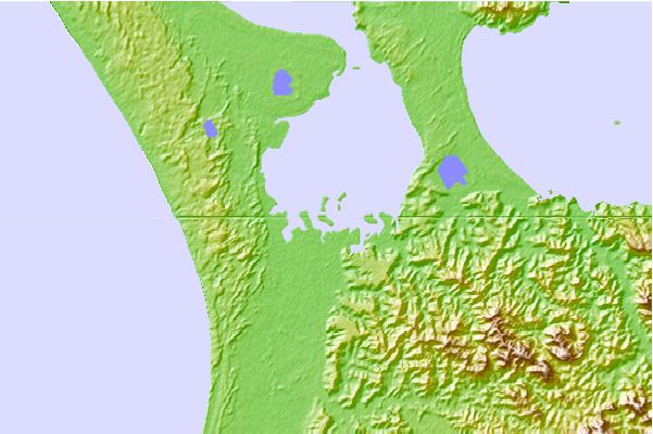
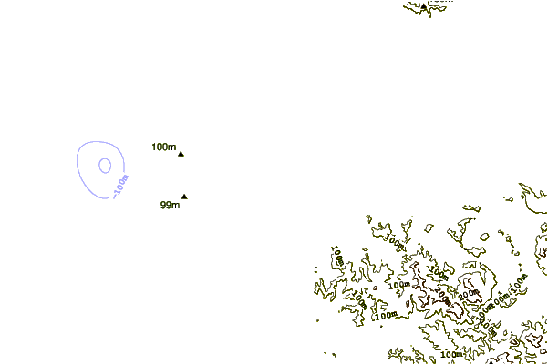
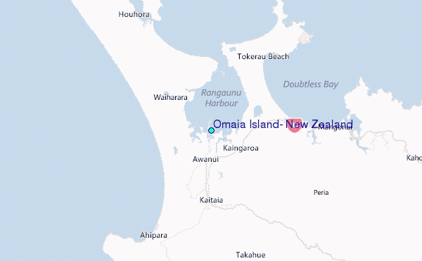
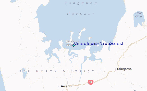
Use this relief map to navigate to tide stations, surf breaks and cities that are in the area of Omaia Island, New Zealand.
Other Nearby Locations' tide tables and tide charts to Omaia Island, New Zealand:
click location name for more details
 Surf breaks close to Omaia Island, New Zealand:
|
||
|---|---|---|
| Closest surf break | Waipapakauri Beach | 6 mi |
| Second closest surf break | Ranganunu Harbour | 8 mi |
| Third closest surf break | Raupo Bay | 9 mi |
| Fourth closest surf break | Tokerau Beach or Doubtless Bay | 9 mi |
| Fifth closest surf break | Puwheke Beach | 10 mi |


 Nearest
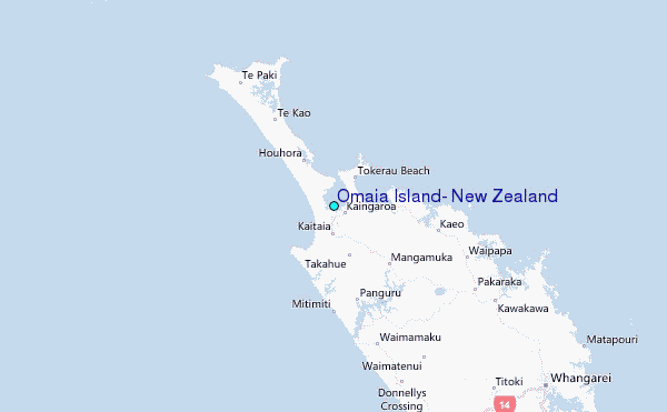