
| Distance / Altitude | Location | Report Date / Time | Live Weather | Wind | Gusts | Temp. | Visibility | Cloud |
|---|---|---|---|---|---|---|---|---|
| 15 km SSE / 6 m | Venice Municipal Airport (Florida) (Florida) | 2024-04-16 13:35 local (2024/04/16 17:35 GMT) | Clear | moderate winds from the ENE (28 km/h at 70) | 30°C | 16 | ||
| 15 km SSE / 3 m | BUOY-VENF1 (Marine) | 2024-04-16 14:00 local (2024/04/16 18:00 GMT) | moderate winds from the E (28 km/h at 80) | 28°C | - | |||
| 24 km NW / 219 m | Sarasota/Bradenton Airport (Florida) | 2024-04-16 12:53 local (2024/04/16 16:53 GMT) | Clear | light winds from the E (17 km/h at 100) | 28°C | 16 | ||
| 35 km NW / 2 m | Bradenton wx (United States) | 2024-04-16 14:49 local (2024/04/16 18:49 GMT) | dry | wind obs. (6 kph from 286 degs) was rejected (- km/h at -) | 27°C | - | - - 0 | |
| 41 km WSW / - m | SHIP3174 (ocean) | 2024-04-16 13:00 local (2024/04/16 17:00 GMT) | - | light winds from the ESE (14 km/h at 110) | 23°C | - | no observation |
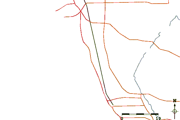
| Contours: | Roads & Rivers: | Select a
tide station / surf break / city |
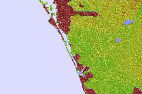

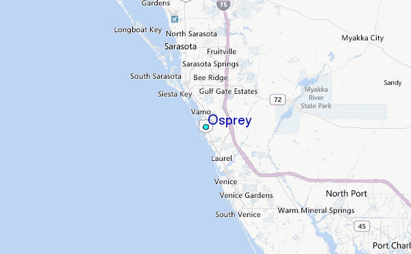
Use this relief map to navigate to tide stations, surf breaks and cities that are in the area of Osprey.
Other Nearby Locations' tide tables and tide charts to Osprey:
click location name for more details
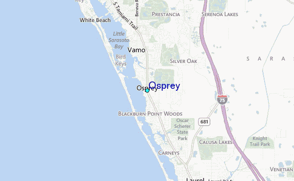
 Surf breaks close to Osprey:
|
||
|---|---|---|
| Closest surf break | Point o Rocks | 4 mi |
| Second closest surf break | Venice North and South Jetty | 10 mi |
| Third closest surf break | Turtle Beach | 14 mi |
| Fourth closest surf break | Siesta | 15 mi |
| Fifth closest surf break | Bradenton Beach | 24 mi |

 Nearest