
| Distance / Altitude | Location | Report Date / Time | Live Weather | Wind | Gusts | Temp. | Visibility | Cloud |
|---|---|---|---|---|---|---|---|---|
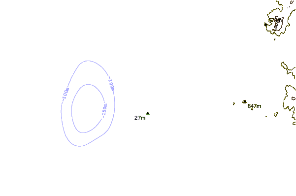
| 55 km SW / 15 m | ASCATB280E8S (Marine) | 2024-04-22 22:06 local (2024/04/23 03:06 GMT) | light winds from the SSE (17 km/h at 153) | — | - km | |||
| 73 km NW / 30 m | Chiclayo (Peru) | 2024-04-22 22:00 local (2024/04/23 03:00 GMT) | State of sky unchanged | light winds from the S (19 km/h at 180) | 23°C | 30 km | scattered | |
| 75 km NW / 212 m | Chiclayo/Capitán FAP José A. Quiñones Gonzales International Airport (Peru) | 2024-04-22 23:00 local (2024/04/23 04:00 GMT) | - | moderate winds from the S (20 km/h at 170) | — | 0.0 | ||
| 89 km WSW / 15 m | hy2c280E7S (Marine) | 2024-04-22 22:41 local (2024/04/23 03:41 GMT) | light winds from the SE (14 km/h at 128) | — | - km | |||
| 92 km SE / 30 m | Trujillo(84501-0) (Peru) | 2024-04-22 22:00 local (2024/04/23 03:00 GMT) | Patches of shallow fog | light winds from the SE (17 km/h at 140) | 21°C | 26 km | scattered |
| Contours: | Roads & Rivers: | Select a
tide station / surf break / city |
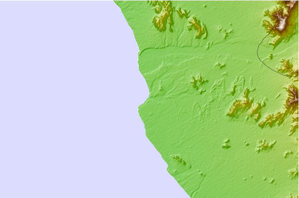
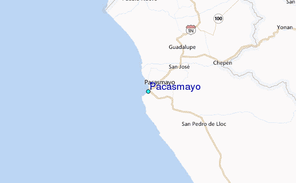
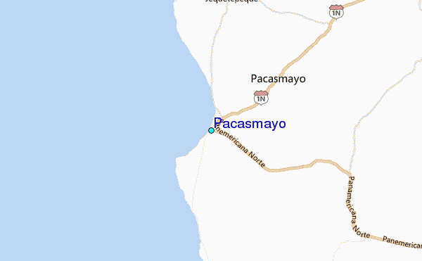
Use this relief map to navigate to tide stations, surf breaks and cities that are in the area of Pacasmayo.
Other Nearby Locations' tide tables and tide charts to Pacasmayo:
click location name for more details
 Surf breaks close to Pacasmayo:
|
||
|---|---|---|
| Closest surf break | Pacasmayo | 1 mi |
| Second closest surf break | Boca del Rio | 6 mi |
| Third closest surf break | Poemape | 9 mi |
| Fourth closest surf break | Cherrepe | 18 mi |
| Fifth closest surf break | Chicama - El Point | 22 mi |

 Nearest
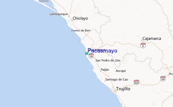