
| Distance / Altitude | Location | Report Date / Time | Live Weather | Wind | Gusts | Temp. | Visibility | Cloud |
|---|---|---|---|---|---|---|---|---|
| 7 km S / 213 m | Pago Pago Airport (Samoa/polynesia) | 2026-06-08 20:50 local (2026/06/09 07:50 GMT) | Shower moderate rain shower | calm (4 km/h at 1) | 25°C | 6 | scattered overcast | |
| 21 km E / 3 m | Aunuu- American Samoa (Marine) | 2026-06-08 21:56 local (2026/06/09 08:56 GMT) | - (- km/h at -) | 26°C | - | |||
| 21 km WSW / 3 m | BUOY-51214 (Marine) | 2026-06-08 22:00 local (2026/06/09 09:00 GMT) | - (- km/h at -) | — | - | |||
| 64 km E / - m | SHIP1684 (ocean) | 2026-06-08 22:00 local (2026/06/09 09:00 GMT) | No report | light winds from the S (19 km/h at 170) | 27°C | - | no observation | |
| 64 km E / - m | SHIP272 (ocean) | 2026-06-08 22:00 local (2026/06/09 09:00 GMT) | No report | light winds from the S (19 km/h at 170) | 27°C | - | no observation | |
| 64 km E / - m | SHIP1230 (ocean) | 2026-06-08 22:00 local (2026/06/09 09:00 GMT) | No report | light winds from the S (19 km/h at 170) | 27°C | - | no observation | |
| 64 km E / 15 m | SHIP4757 (Marine) | 2026-06-08 23:00 local (2026/06/09 10:00 GMT) | light winds from the S (18.36 km/h at 180) | 29°C | - km | |||
| 64 km E / 15 m | SHIP5061 (Marine) | 2026-06-08 22:00 local (2026/06/09 09:00 GMT) | moderate winds from the SSE (20.52 km/h at 160) | 29°C | - km | |||
| 64 km E / 3 m | SHIP4516 (Marine) | 2026-06-08 22:00 local (2026/06/09 09:00 GMT) | moderate winds from the SSE (21 km/h at 160) | 27°C | - | |||
| 64 km E / - m | SHIP726 (ocean) | 2026-06-08 22:00 local (2026/06/09 09:00 GMT) | No report | light winds from the S (19 km/h at 170) | 27°C | - | no observation |
| Contours: | Roads & Rivers: | Select a
tide station / surf break / city |
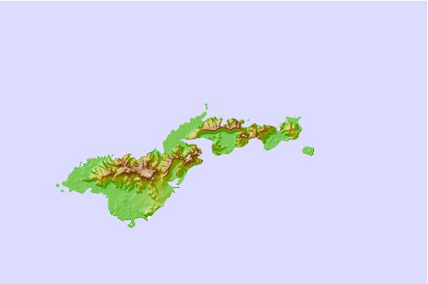
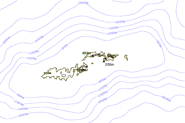
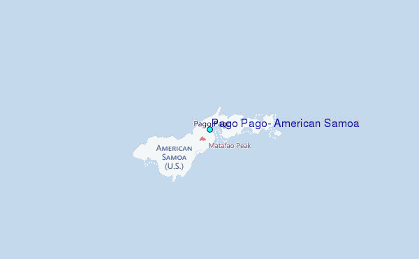
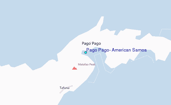
Use this relief map to navigate to tide stations, surf breaks and cities that are in the area of Pago Pago, American Samoa.
Other Nearby Locations' tide tables and tide charts to Pago Pago, American Samoa:
click location name for more details
 Surf breaks close to Pago Pago, American Samoa:
|
||
|---|---|---|
| Closest surf break | Fagaalu | 1 mi |
| Second closest surf break | Laulii Tuai Lefts | 1 mi |
| Third closest surf break | Lauli'i Tuai Rights | 1 mi |
| Fourth closest surf break | Utulei | 1 mi |
| Fifth closest surf break | Coral Heads | 2 mi |


 Nearest
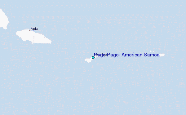