
| Distance / Altitude | Location | Report Date / Time | Live Weather | Wind | Gusts | Temp. | Visibility | Cloud |
|---|---|---|---|---|---|---|---|---|
| 14 km NE / 218 m | Káto Kastrítsi wx (Greece) | 2024-04-25 02:07 local (2024/04/24 23:07 GMT) | dry | calm (0 km/h at ) | 14°C | - | - - 0 | |
| 25 km WSW / 219 m | Araxos Airport (Greece) | 2024-04-25 01:50 local (2024/04/24 22:50 GMT) | - | calm (0 km/h at 0) | 12°C | 10.0 | few | |
| 28 km ENE / 105 m | Lambírion wx (Greece) | 2024-04-25 02:43 local (2024/04/24 23:43 GMT) | dry | calm (2 km/h at 272) | 14°C | - | - - 0 | |
| 29 km SE / 773 m | Katw Vlasia (Greece) | 2024-04-25 02:18 local (2024/04/24 23:18 GMT) | dry | calm (0 km/h at 115) | 6°C | - | - - 0 | |
| 48 km SSW / 12 m | Andravida (Airport) (Greece) | 2024-04-25 02:00 local (2024/04/24 23:00 GMT) | no report | - (- km/h at -) | 12°C | 10 | - |
| Contours: | Roads & Rivers: | Select a
tide station / surf break / city |
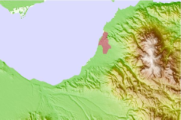
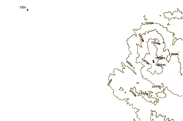
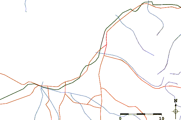
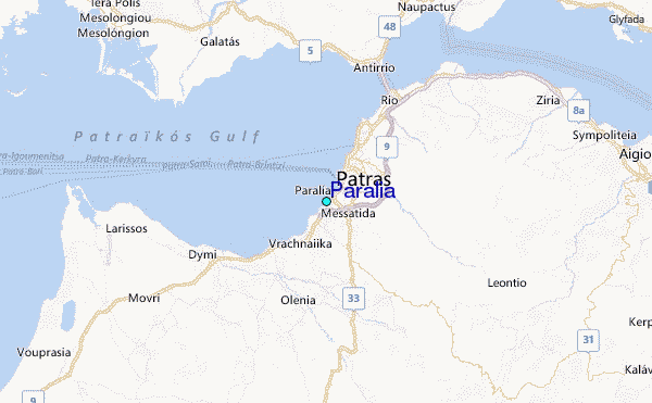
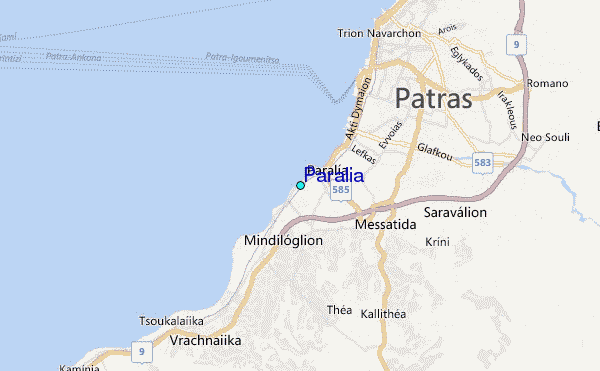
Use this relief map to navigate to tide stations, surf breaks and cities that are in the area of Paralia.
Other Nearby Locations' tide tables and tide charts to Paralia:
click location name for more details
 Surf breaks close to Paralia:
|
||
|---|---|---|
| Closest surf break | Palouki | 38 mi |
| Second closest surf break | Alykes - Zakynthos | 57 mi |
| Third closest surf break | Lourdata or Lourdas Beach | 58 mi |
| Fourth closest surf break | Kalo Nero | 63 mi |
| Fifth closest surf break | Ammes Beach Kefalonia | 65 mi |

 Nearest
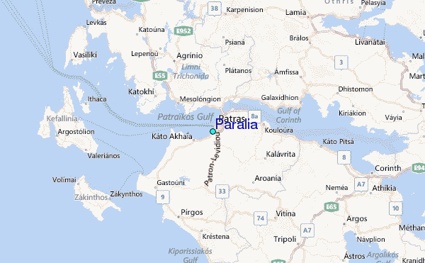